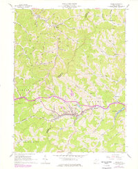
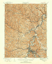
1961 Map of Salem
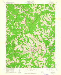
USGS Topo · Published 1977About this map
The Baltimore and Ohio railroad corridor serves as the primary artery through this West Virginia hill country, connecting the hillside communities of Salem, East Salem, and Bristol. The 1961 field check captures a landscape defined by natural gas extraction and a decentralized rural economy, with numerous Gas Wells and complex networks of pipelines and telephone lines tracing the ridges and hollows. Civic and residential life is anchored by landmarks like the State Industrial Home, the Armory, and local education at Harden Sch. The map also highlights significant water features and recreational sites, including the City Reservoir and the private development at Lake Floyd. Genealogists will find particular value in the scattered country churches and burial grounds such as Vermont Ch, Cascara Ch, and the IOOF Cem near the town center.
Find a feature on this map
69 named features on this map. Tap any name to fly to it.
Don’t see what you’re looking for? This feature index may not catch every label — zoom into the map to look around manually.
Map Details
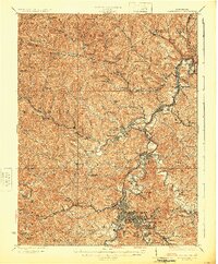
Editions of this 1961 Salem Map
2 editions found
Other maps of this area
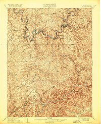
1902 · Clarksburg
USGS Topo · 1:62,500
1904 · Weston
USGS Topo · 1:62,500

1904 · Vadis
USGS Topo · 1:62,500

1905 · Centerpoint
USGS Topo · 1:62,500
1910 · Clarksburg
USGS Topo · 1:62,500
1923 · Clarksburg
USGS Topo · 1:62,500

1924 · Centerpoint
USGS Topo · 1:62,500
1925 · Clarksburg
USGS Topo · 1:62,500

1925 · Centerpoint
USGS Topo · 1:62,500

1925 · Vadis
USGS Topo · 1:62,500