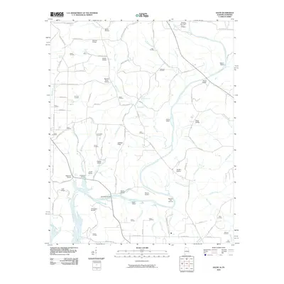
2010 Map of Salem
USGS Topo · Published 2010About this map
The Elk River carves a winding path through this borderland between Tennessee and Alabama, defining a landscape of high bluffs and river islands. Along its banks, the Elk River Fish Hatchery and Round Bottom reflect the aquatic character of the region, while landmarks like Chickasaw Shoals and Winding Stair Bluff show the river's geological impact. The terrain is deeply incised by numerous drainages such as Shoal Creek and Sugar Creek, creating a network of hollows that served as sites for many early settlements and family homesteads.
Find a feature on this map
104 named features on this map. Tap any name to fly to it.
Don’t see what you’re looking for? This feature index may not catch every label — zoom into the map to look around manually.
Map Details
Editions of this 2010 Salem Map
This is the sole edition of this map. No revisions or reprints were ever made.
Other maps of this area

1888 · Huntsville
USGS Topo · 1:125,000

1892 · Huntsville
USGS Topo · 1:125,000

1935 · Athens
USGS Topo · 1:24,000

1936 · Union Hill
USGS Topo · 1:24,000

1936 · Aspen Hill
USGS Topo · 1:24,000

1936 · Elkmont
USGS Topo · 1:24,000

1936 · Ripley
USGS Topo · 1:24,000

1936 · Appleton
USGS Topo · 1:24,000

1936 · Cairo
USGS Topo · 1:24,000

1936 · Elkton
USGS Topo · 1:24,000