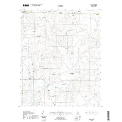
2020 Map of Salem
USGS Topo · Published 2020About this map
The Elk River winds through the borderlands of Giles County, Tennessee, and Limestone County, Alabama, defining a landscape of deeply cut hollows and high ridges. Significant historical nodes such as Gourdsville, Leggtown, and Salem anchor a network of rural roads that follow the terrain, connecting family-named landmarks like Gaston Hollow and Patterson Hollow. The area is notably dense with small family and community burial grounds, including the McKinney Cem Number 1, Hancock Grigory Cem, and Dupree Cem, providing essential primary-source data for genealogists and local historians.
Find a feature on this map
143 named features on this map. Tap any name to fly to it.
Don’t see what you’re looking for? This feature index may not catch every label — zoom into the map to look around manually.
Map Details
Editions of this 2020 Salem Map
This is the sole edition of this map. No revisions or reprints were ever made.
Other maps of this area

1888 · Huntsville
USGS Topo · 1:125,000

1892 · Huntsville
USGS Topo · 1:125,000

1935 · Athens
USGS Topo · 1:24,000

1936 · Union Hill
USGS Topo · 1:24,000

1936 · Aspen Hill
USGS Topo · 1:24,000

1936 · Elkmont
USGS Topo · 1:24,000

1936 · Ripley
USGS Topo · 1:24,000

1936 · Appleton
USGS Topo · 1:24,000

1936 · Cairo
USGS Topo · 1:24,000

1936 · Elkton
USGS Topo · 1:24,000