
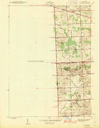
1945 Map of Salem
USGS Topo · Published 1945About this map
The intersection of the Washtenaw Co Wayne Co and Oakland Co Wayne Co boundaries anchors this mid-century topographic record. Significant land use is dedicated to institutional properties, most notably the Wayne County Training School and the Detroit House of Correction in the southern portion of the quadrangle. These large-scale facilities, alongside the Maybury Sanitarium, indicate the era's regional approach to public health and social services.
Find a feature on this map
31 named features on this map. Tap any name to fly to it.
Don’t see what you’re looking for? This feature index may not catch every label — zoom into the map to look around manually.
Map Details
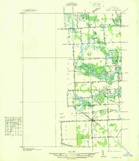
Editions of this 1945 Salem Map
2 editions found
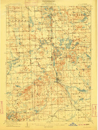
Other maps of this area

1902 · South Lyon
USGS Topo · 1:62,500

1904 · Ann Arbor
USGS Topo · 1:125,000

1905 · Wayne
USGS Topo · 1:62,500

1906 · South Lyon
USGS Topo · 1:62,500

1907 · Pontiac
USGS Topo · 1:62,500

1908 · Ann Arbor
USGS Topo · 1:125,000
1909 · Milford
USGS Topo · 1:62,500

1912 · Wayne
USGS Topo · 1:62,500
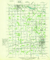
1936 · Wayne
USGS Topo · 1:31,680
1936 · Wixom
USGS Topo · 1:31,680
Featured Places
- Novi, MI
- Northville Charter Township, MI
- Plymouth Charter Township, MI
- Lyon Charter Township, MI
- Wixom, MI