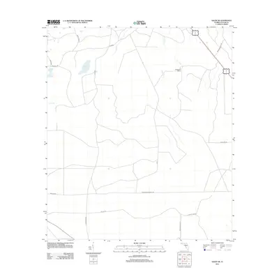
2012 Map of Salem SW
USGS Topo · Published 2012About this map
Low-lying wetlands and scattered waterholes define this section of Taylor County, where the landscape is marked by unique hydrographic features like Minom Sog and Coker Sog. The northern portion of the quadrangle is drained by California Cr and Bevins Cr, with the notable California Sinks providing a distinct geological point of interest. Human activity is evidenced by a network of timber and access roads, including the long stretches of the Tennille Crossroads Tpke and Tennille Tpke crossing the southern half.
Find a feature on this map
20 named features on this map. Tap any name to fly to it.
Don’t see what you’re looking for? This feature index may not catch every label — zoom into the map to look around manually.
Map Details
Editions of this 2012 Salem SW Map
This is the sole edition of this map. No revisions or reprints were ever made.
Other maps of this area

1954 · Clara
USGS Topo · 1:24,000

1954 · Salem SW
USGS Topo · 1:24,000

1954 · Jena
USGS Topo · 1:24,000

1954 · Cooks Hammock
USGS Topo · 1:24,000

1954 · Warrior Swamp
USGS Topo · 1:24,000

1954 · Salem
USGS Topo · 1:24,000

1954 · Steinhatchee
USGS Topo · 1:24,000

1954 · Keaton Beach
USGS Topo · 1:24,000

1954 · Crooked Point
USGS Topo · 1:24,000

1954 · Gainesville
USGS Topo · 1:250,000