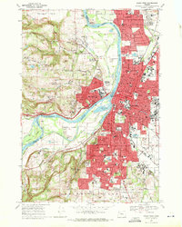
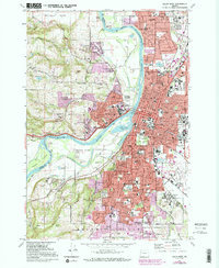
1969 Map of Salem West
USGS Topo · Published 1972About this map
The Willamette River carves a winding path between the rugged Eola Hills and the expanding urban core of Salem in this late-1960s survey. The map details a landscape in transition, where the heavy industry and institutional footprints of the Oregon State Penitentiary and State Fairgrounds meet the academic grounds of Willamette University and the administrative center of the State Capitol. Across the river, West Salem and Keizer show significant residential development, yet the surrounding hills remain defined by orchards and family-named landmarks like Chapman Hill and Grice Hill.
Find a feature on this map
176 named features on this map. Tap any name to fly to it.
Don’t see what you’re looking for? This feature index may not catch every label — zoom into the map to look around manually.
Map Details
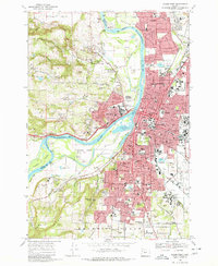
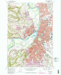
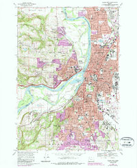
Editions of this 1969 Salem West Map
5 editions found
Other maps of this area

1914 · Independence
USGS Topo · 1:31,680

1915 · Rickreall
USGS Topo · 1:31,680

1915 · Eola
USGS Topo · 1:31,680

1915 · Sidney
USGS Topo · 1:31,680

1917 · Salem
USGS Topo · 1:62,500

1923 · Mount Angel
USGS Topo · 1:62,500

1924 · Mc Minnville
USGS Topo · 1:48,000

1925 · Stayton
USGS Topo · 1:62,500

1926 · Mc Minnville
USGS Topo · 1:62,500

1940 · McMinnville
USGS Topo · 1:62,500