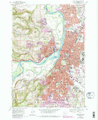
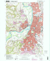
1969 Map of Salem West
USGS Topo · Published 1987About this map
The Willamette River defines the heart of this landscape, separating the urban core of Salem and Keizer from the hills to the west. While the city center is dense with institutional landmarks like the State Capitol, Willamette University, and the Oregon State Penitentiary, the west bank transitions into the orchards and ridges of the Eola Hills. Notable geographic features such as Minto Island and Browns Island sit within the river’s curves, highlighting the complex slough and bar system that historically shaped the capital city's waterfront.
Find a feature on this map
122 named features on this map. Tap any name to fly to it.
Don’t see what you’re looking for? This feature index may not catch every label — zoom into the map to look around manually.
Map Details
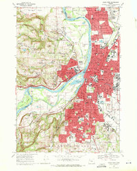
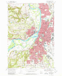
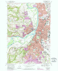
Editions of this 1969 Salem West Map
5 editions found
Other maps of this area

1914 · Independence
USGS Topo · 1:31,680

1915 · Rickreall
USGS Topo · 1:31,680

1915 · Eola
USGS Topo · 1:31,680

1915 · Sidney
USGS Topo · 1:31,680

1917 · Salem
USGS Topo · 1:62,500

1923 · Mount Angel
USGS Topo · 1:62,500

1924 · Mc Minnville
USGS Topo · 1:48,000

1925 · Stayton
USGS Topo · 1:62,500

1926 · Mc Minnville
USGS Topo · 1:62,500

1940 · McMinnville
USGS Topo · 1:62,500