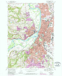
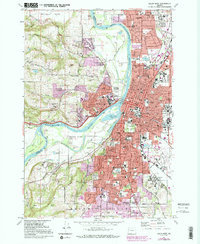
1969 Map of Salem West
USGS Topo · Published 1987About this map
The Willamette River carves through the center of this landscape, separating the rising terrain of the Eola Hills and Salem Hills from the developing urban core of the state capital. The eastern bank is dense with institutional history, anchored by the State Capitol and the sprawling grounds of the Oregon State Penitentiary. To the north, the community of Keizer extends toward the Chemawa Sch, while the western hills feature local landmarks like Wallace Hill and Grice Hill. Evidence of the region’s agricultural and industrial shift is visible in the proximity of Orchard Heights to newer suburban expansions and specialized facilities like the State Blind School and Fairview Home. The map documents a complex network of transportation, showing the Southern Pacific and Burlington Northern railroads as they navigate the river’s path near Minto Island and Browns Island.
Find a feature on this map
123 named features on this map. Tap any name to fly to it.
Don’t see what you’re looking for? This feature index may not catch every label — zoom into the map to look around manually.
Map Details
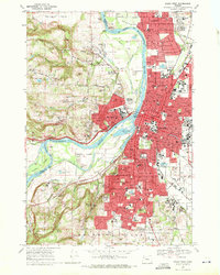
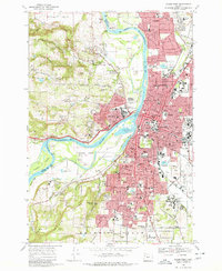
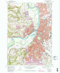
Editions of this 1969 Salem West Map
5 editions found
Other maps of this area

1914 · Independence
USGS Topo · 1:31,680

1915 · Rickreall
USGS Topo · 1:31,680

1915 · Eola
USGS Topo · 1:31,680

1915 · Sidney
USGS Topo · 1:31,680

1917 · Salem
USGS Topo · 1:62,500

1923 · Mount Angel
USGS Topo · 1:62,500

1924 · Mc Minnville
USGS Topo · 1:48,000

1925 · Stayton
USGS Topo · 1:62,500

1926 · Mc Minnville
USGS Topo · 1:62,500

1940 · McMinnville
USGS Topo · 1:62,500