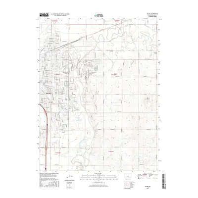
2015 Map of Salina
USGS Topo · Published 2015About this map
Salina serves as a major hub on the Kansas plains where the Smoky Hill River and Saline River converge. This 2015 topographic record illustrates the dense urban core of the city, including educational institutions like Kansas Wesleyan Univ and Brown Mackie Coll - Salina. The city's growth is framed by long-standing cemeteries such as Gypsum Hill Cem, Mount Calvary Cem, and the expansive Roselawn Memorial Park Cem.
Find a feature on this map
244 named features on this map. Tap any name to fly to it.
Don’t see what you’re looking for? This feature index may not catch every label — zoom into the map to look around manually.
Map Details
Editions of this 2015 Salina Map
This is the sole edition of this map. No revisions or reprints were ever made.
Other maps of this area

1889 · Abilene
USGS Topo · 1:125,000

1892 · Salina
USGS Topo · 1:125,000

1894 · Abilene
USGS Topo · 1:125,000

1942 · Salina
USGS Topo · 1:125,000

1955 · Salina
USGS Topo · 1:24,000

1955 · Assaria
USGS Topo · 1:24,000

1955 · Salina SW
USGS Topo · 1:24,000

1955 · Trenton
USGS Topo · 1:24,000

1955 · Smolan
USGS Topo · 1:24,000

1955 · Niles
USGS Topo · 1:24,000