Loading...
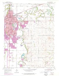
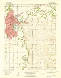
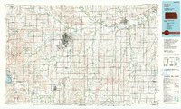
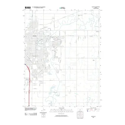
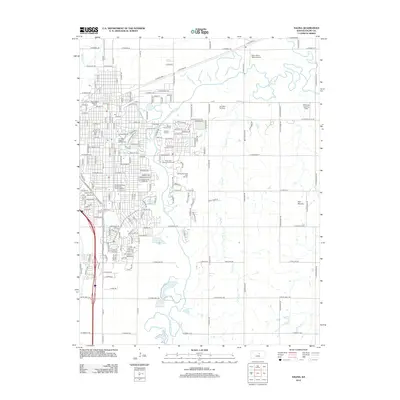
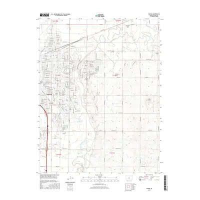
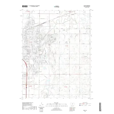
Loading map...1955 Map of Salina
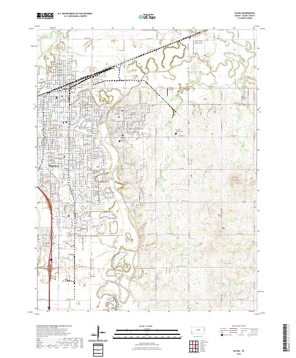
USGS Topo · Published 1978About this map
The confluence of the Smoky Hill River and the Saline River shapes the geography of this Kansas landscape, where the growing city of Salina expanded across the plains. Education and institutional life are central to the settlement pattern, anchored by the St Johns Military Sch, Marymount College, and Kansas Wesleyan University. The map reveals a dense network of neighborhood schools like Hawthorne Sch and Heusner Sch, reflecting the postwar community growth before later consolidations changed the local map.
Find a feature on this map
51 named features on this map. Tap any name to fly to it.
Don’t see what you’re looking for? This feature index may not catch every label — zoom into the map to look around manually.
Map Details
Date Portrayed1955
Date Published1978
PublisherU.S. Geological Survey
Map TypeTopographic
Scale1:24,000
Physical Dimensions21.29 x 27.18 inches
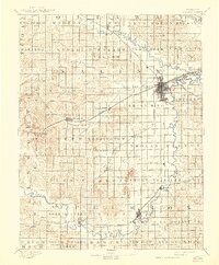
Editions of this 1955 Salina Map
2 editions found
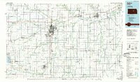
Historical Maps of Salina Through Time
10 maps found

Featured Locations
Source Details
SourceU.S. Geological Survey
CopyrightPublic Domain