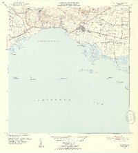
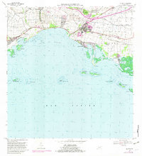
1952 Map of Salinas
USGS Topo · Published 1953About this map
Sugarcane agriculture and coastal commerce define the landscape of Salinas in the early 1950s. The region is marked by a dense network of estate settlements including Hacienda Margarita, Hacienda Teresa, and Hacienda Palés, reflecting the agrarian economy of the era. The presence of Central Caribe highlights the industrial processing of cane, supported by infrastructure like the Canal Patillas and the Ponce Guayama and Transmisión Linea. Along the southern coast, the Bahía de Rincón meets the Caribbean Sea, where the fishing village of Playa Salinas serves as a gateway to the nearby reefs and cays, including Cayos de Ratones. Inland, the terrain rises toward Cerro Modesto, while a dedicated Military Reservation occupies the northern hills. This survey documents the transition between the traditional hacienda system and the mid-century industrialization of Puerto Rico's southern coast.
Find a feature on this map
43 named features on this map. Tap any name to fly to it.
Don’t see what you’re looking for? This feature index may not catch every label — zoom into the map to look around manually.
Map Details
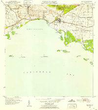
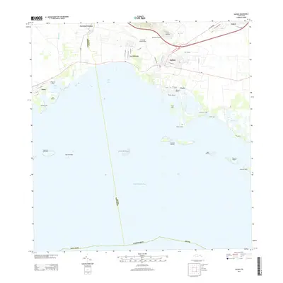
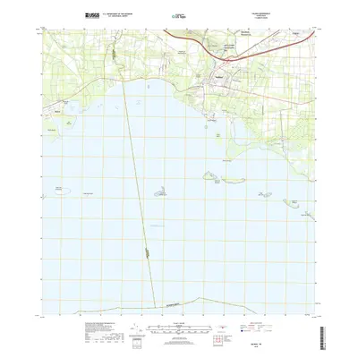
Editions of this 1952 Salinas Map
2 editions found
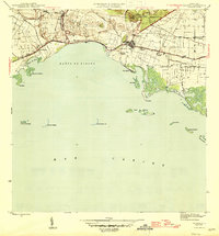
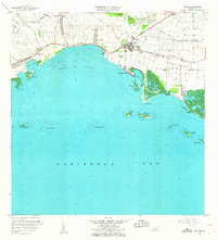
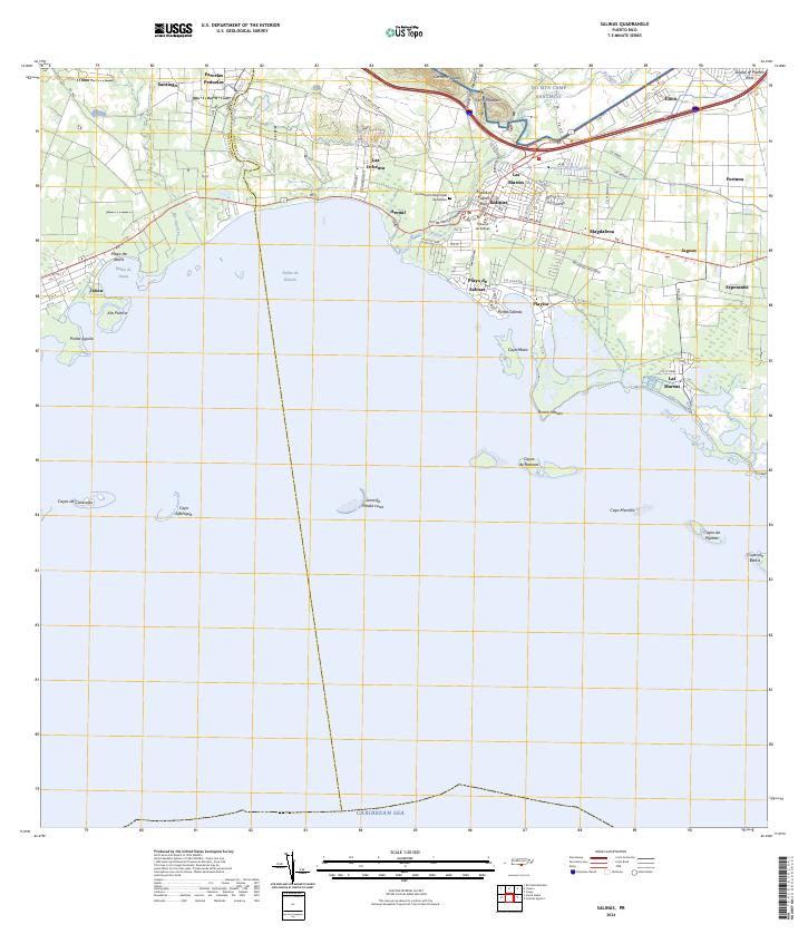
Historical Maps of Salinas Through Time
7 maps found
Featured Locations
- Corales del Mar, Salinas
- Villasol, Salinas
- Salinas, Salinas
- Sector Providencia, Salinas
- Urb. Brisas del Everlymar, Salinas