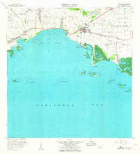
1960 Map of Salinas
USGS Topo · Published 1962About this map
The town of Salinas serves as the focal point for this 1960 revision, situated where the Río Nigua meets the Caribbean coast. This era of the landscape is defined by the legacy of the sugar industry, evidenced by numerous named estates such as Hacienda Margarita, Hacienda Palés, and Hacienda Carmen that line the coastal plain. Coastal settlement is concentrated around the Playa de Salinas and the fishing village of Las Mareas, which sits adjacent to the Mar Negro mangroves. To the west, the expansive Bahía de Rincón is punctuated by significant maritime landmarks like Arrecife Media Luna and the Cayos de Ratones. Inland, the U S Military Reservation Salinas Training Area occupies the foothills, while smaller agricultural settlements like Las Ochenta and Parcelas Peñuelas reflect the rural character of the municipality during the mid-century.
Find a feature on this map
50 named features on this map. Tap any name to fly to it.
Don’t see what you’re looking for? This feature index may not catch every label — zoom into the map to look around manually.
Map Details
Editions of this 1960 Salinas Map
2 editions found
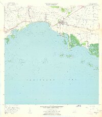
Other maps of this area

1944 · Santa Isabel
USGS Topo · 1:30,000

1945 · Rio Descalabrado
USGS Topo · 1:30,000

1945 · Central Aguirre
USGS Topo · 1:30,000

1945 · Salinas
USGS Topo · 1:30,000

1946 · Coamo
USGS Topo · 1:30,000

1946 · Cayey
USGS Topo · 1:30,000
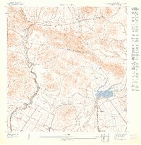
1947 · Rio Descalabrado SE
USGS Topo · 1:10,000

1947 · Cayey SO
USGS Topo · 1:10,000
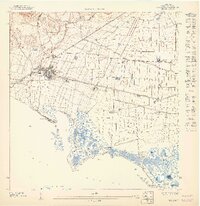
1947 · Salinas NE
USGS Topo · 1:10,000
1947 · Central Aquirre SO
USGS Topo · 1:10,000
Featured Places
- Salinas
- Villasol, Salinas
- Urb. Marbella, Salinas
- Urb. Brisas del Everlymar, Salinas
- Sector Providencia, Salinas