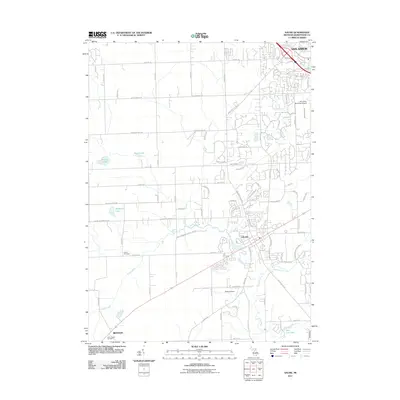
2011 Map of Saline
USGS Topo · Published 2011About this map
Saline and the southern periphery of Ann Arbor define this Washtenaw County landscape at the start of the 2010s. The geography is characterized by the meandering path of the Saline River, which flows past the small settlement of Benton and through the city of Saline, supported by a network of agricultural and municipal water management systems like the Koch Warner Drain and Pittsfield Number Five Drain. This era shows a clear transition between suburban expansion and rural farmland, with residential developments such as Brookfield Dr and Lohr Cir appearing near the Ann Arbor Municipal Airport. Genealogists and local historians can locate several traditional burial grounds including Lodi Cemetery, Union Cemetery, and Saint James Cemetery. The map also captures several small water bodies, including Birkle Lake, Arnold Lake, and Ella Lee Lake, reflecting the glacial topography of the region.
Find a feature on this map
81 named features on this map. Tap any name to fly to it.
Don’t see what you’re looking for? This feature index may not catch every label — zoom into the map to look around manually.
Map Details
Editions of this 2011 Saline Map
This is the sole edition of this map. No revisions or reprints were ever made.
Other maps of this area

1902 · South Lyon
USGS Topo · 1:62,500

1902 · Ypsilanti
USGS Topo · 1:62,500

1902 · Dexter
USGS Topo · 1:62,500

1904 · Ann Arbor
USGS Topo · 1:125,000

1906 · Ypsilanti
USGS Topo · 1:62,500

1906 · Dexter
USGS Topo · 1:62,500

1906 · Saline
USGS Topo · 1:62,500

1906 · South Lyon
USGS Topo · 1:62,500

1908 · Ann Arbor
USGS Topo · 1:125,000

1954 · Detroit
USGS Topo · 1:250,000