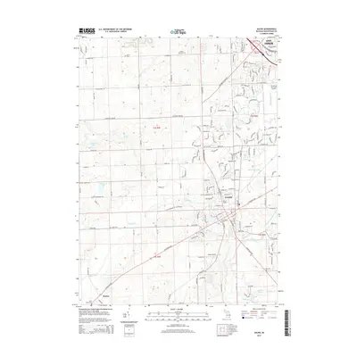
2014 Map of Saline
USGS Topo · Published 2014About this map
Saline and the southern outskirts of Ann Arbor define this region of Washtenaw County, where the Saline River winds through a landscape transitioning from suburban density to rural farmsteads. The area is characterized by a dense network of early 21st-century road corridors, including W Michigan Ave and Ann Arbor Saline Rd, which connect the commercial centers to smaller settlements like Benton. Local history is preserved in numerous burial grounds scattered across the townships, such as Rosier Cem and Oakwood Cem. Aviation infrastructure is prominent here, with both the Ann Arbor Municipal Airport and the smaller Saline Airport supporting the regional economy. Beyond the developed areas, the map reveals a complex drainage system featuring the Wood Outlet Drain and Pittsfield Number Five Drain, alongside recreational waters like Birkle Lake and Ella Lee Lake.
Find a feature on this map
150 named features on this map. Tap any name to fly to it.
Don’t see what you’re looking for? This feature index may not catch every label — zoom into the map to look around manually.
Map Details
Editions of this 2014 Saline Map
This is the sole edition of this map. No revisions or reprints were ever made.
Other maps of this area

1902 · South Lyon
USGS Topo · 1:62,500

1902 · Ypsilanti
USGS Topo · 1:62,500

1902 · Dexter
USGS Topo · 1:62,500

1904 · Ann Arbor
USGS Topo · 1:125,000

1906 · Ypsilanti
USGS Topo · 1:62,500

1906 · Dexter
USGS Topo · 1:62,500

1906 · Saline
USGS Topo · 1:62,500

1906 · South Lyon
USGS Topo · 1:62,500

1908 · Ann Arbor
USGS Topo · 1:125,000

1954 · Detroit
USGS Topo · 1:250,000