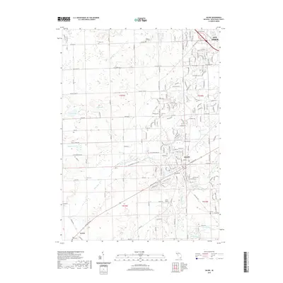
2019 Map of Saline
USGS Topo · Published 2019About this map
The city of Saline occupies the heart of this landscape, situated at the confluence of the Saline River and several local tributaries including Pittsfield Number Five Drain. The area exhibits a dense network of early 21st-century residential developments and thoroughfares such as Ann Arbor-Saline Rd and W Michigan Ave, which connect the community to the southern outskirts of Ann Arbor. For genealogists and local historians, the sheet is particularly valuable for its recording of numerous burial grounds scattered across the township, from the centrally located Oakwood Cem to rural sites like Rosier Cem, Waters Road Cem, and Judd Cem. Small-scale aviation is represented by the Saline Airport to the south, while the village of Benton and various small water bodies like Arnold Lake and Deppmann Lake define the outlying agricultural and natural surroundings.
Find a feature on this map
70 named features on this map. Tap any name to fly to it.
Don’t see what you’re looking for? This feature index may not catch every label — zoom into the map to look around manually.
Map Details
Editions of this 2019 Saline Map
This is the sole edition of this map. No revisions or reprints were ever made.
Other maps of this area

1902 · South Lyon
USGS Topo · 1:62,500

1902 · Ypsilanti
USGS Topo · 1:62,500

1902 · Dexter
USGS Topo · 1:62,500

1904 · Ann Arbor
USGS Topo · 1:125,000

1906 · Ypsilanti
USGS Topo · 1:62,500

1906 · Dexter
USGS Topo · 1:62,500

1906 · Saline
USGS Topo · 1:62,500

1906 · South Lyon
USGS Topo · 1:62,500

1908 · Ann Arbor
USGS Topo · 1:125,000

1954 · Detroit
USGS Topo · 1:250,000