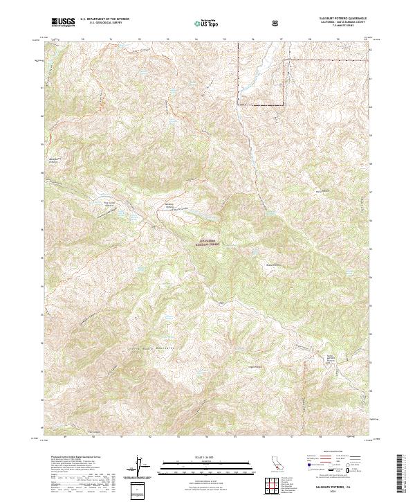
2021 Map of Salisbury Potrero
USGS Topo · Published 2021About this map
The Sierra Madre Mountains form the backbone of this backcountry landscape, a territory defined by high-elevation plateaus known locally as potreros. Throughout Los Padres National Forest, these open grasslands like Salisbury Potrero and Montgomery Potrero provided critical grazing and stopover points in a region dominated by sharp relief and seasonal washes. The drainage network is complex, featuring the upper reaches of Lion Canyon and Salisbury Canyon, while the southern edge of the map is defined by the Sisquoc Wild and Scenic River. This survey captures the connectivity of the high country via the Sierra Madre Rd and primitive paths like the Bull Ridge Trl. Scattered water sources, including Cherry Orchard Spring and Aguadulce Spring, suggest the historical reliance on specific perennial points for survival in the arid high-country terrain.
Find a feature on this map
56 named features on this map. Tap any name to fly to it.
Don’t see what you’re looking for? This feature index may not catch every label — zoom into the map to look around manually.
Map Details
Editions of this 2021 Salisbury Potrero Map
This is the sole edition of this map. No revisions or reprints were ever made.
Other maps of this area

1902 · Santa Ynez
USGS Topo · 1:125,000

1905 · Santa Ynez
USGS Topo · 1:125,000

1941 · San Rafael Mtn.
USGS Topo · 1:62,500

1941 · McPherson Peak
USGS Topo · 1:62,500

1942 · San Rafael Mtn.
USGS Topo · 1:62,500

1942 · East of Cuyama Ranch
USGS Topo · 1:24,000

1943 · Big Pine Mountain
USGS Topo · 1:31,680

1943 · San Rafael Mtn.
USGS Topo · 1:62,500

1943 · McPherson Peak
USGS Topo · 1:62,500

1943 · Cuyama Ranch
USGS Topo · 1:31,680