1942 Map of Salisbury
USGS Topo · Published 1971About this map
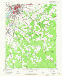
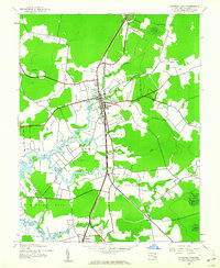
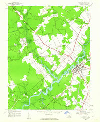
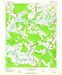
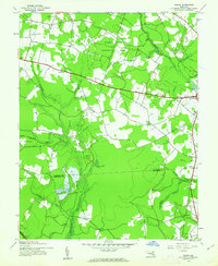
The Salisbury city center and its waterfront along the Wicomico River serve as the hub of this 1942 survey, revealing the infrastructure of the Eastern Shore just as wartime aviation needs were rising. The presence of Salisbury Airport No 2 contrasts with the established residential patterns of Fruitland and Lakewood. Water dominates the drainage landscape, with Parker Pond and Schumaker Pond feeding into the river network, while the lower quadrangle transitions into more rural terrain defined by the Widow Hawkins Game Refuge. Transportation relies heavily on the intersection of the Pennsylvania RR and the Baltimore and Eastern RR, which facilitated trade and travel through Wicomico County. Smaller community life is marked by landmarks like the Wicomico Orphanage and several rural sanctuaries, including St Lukes and the Bethlehem Ch near the Worcester County line.
Find a feature on this map
45 named features on this map. Tap any name to fly to it.
Don’t see what you’re looking for? This feature index may not catch every label — zoom into the map to look around manually.
Map Details
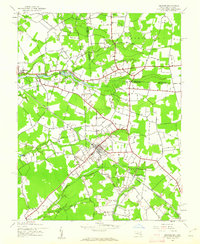
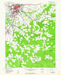
Editions of this 1942 Salisbury Map
2 editions found
Other maps of this area

1901 · Snow Hill
USGS Topo · 1:62,500

1901 · Salisbury
USGS Topo · 1:62,500

1902 · Pittsville
USGS Topo · 1:62,500
1942 · Princess Anne
USGS Topo · 1:24,000
1942 · Snow Hill
USGS Topo · 1:24,000
1942 · Eden
USGS Topo · 1:24,000
1942 · Wango
USGS Topo · 1:24,000
1942 · Hebron
USGS Topo · 1:24,000

1942 · Dividing Creek
USGS Topo · 1:24,000
1942 · Salisbury
USGS Topo · 1:24,000