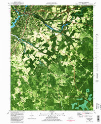
1982 Map of Salisbury
USGS Topo · Published 1983About this map
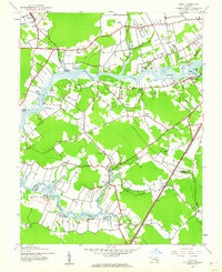
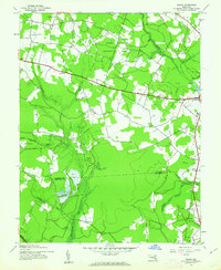
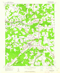
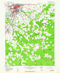
Salisbury serves as the focal point of this orthophotomap, showing the city's educational and institutional footprint during the early 1980s. The campus of Salisbury State College and several secondary schools like James Bennett High Sch anchor the urban landscape. This view captures the transition from the developed city center to the rural reaches of the Delmarva Peninsula, where the landscape is defined by the Wicomico River and its intricate network of tributaries including Tonytank Creek and Beaverdam Creek.
Find a feature on this map
72 named features on this map. Tap any name to fly to it.
Don’t see what you’re looking for? This feature index may not catch every label — zoom into the map to look around manually.
Map Details
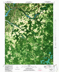
Editions of this 1982 Salisbury Map
2 editions found
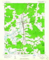
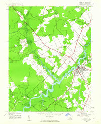
Other maps of this area

1901 · Snow Hill
USGS Topo · 1:62,500

1901 · Salisbury
USGS Topo · 1:62,500

1902 · Pittsville
USGS Topo · 1:62,500
1942 · Princess Anne
USGS Topo · 1:24,000
1942 · Snow Hill
USGS Topo · 1:24,000
1942 · Eden
USGS Topo · 1:24,000
1942 · Wango
USGS Topo · 1:24,000
1942 · Hebron
USGS Topo · 1:24,000

1942 · Dividing Creek
USGS Topo · 1:24,000
1942 · Salisbury
USGS Topo · 1:24,000