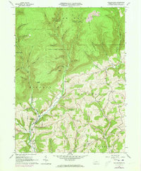
1965 Map of Salladasburg
USGS Topo · Published 1973About this map
The borough of Salladasburg anchors this Lycoming County landscape, situated at the junction of Larrys Creek and several mountain-fed tributaries. The terrain transitions from the cleared agricultural fields of Anthony and Mifflin townships into the heavily forested tracts of State Game Lands No 114. Evidence of resource extraction is visible in the northeast, where strip mines and coal deposits are noted along the high ridges.
Find a feature on this map
56 named features on this map. Tap any name to fly to it.
Don’t see what you’re looking for? This feature index may not catch every label — zoom into the map to look around manually.
Map Details
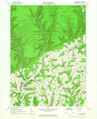
Editions of this 1965 Salladasburg Map
2 editions found
Other maps of this area

1921 · Williamsport
USGS Topo · 1:48,000

1921 · Trout Run
USGS Topo · 1:62,500

1921 · Lock Haven
USGS Topo · 1:62,500

1923 · Lock Haven
USGS Topo · 1:62,500

1923 · Trout Run
USGS Topo · 1:62,500

1923 · Williamsport
USGS Topo · 1:62,500

1935 · Waterville
USGS Topo · 1:24,000

1937 · Waterville
USGS Topo · 1:48,000

1943 · Waterville
USGS Topo · 1:62,500

1944 · Trout Run
USGS Topo · 1:62,500