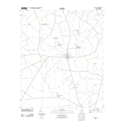
2011 Map of Salley
USGS Topo · Published 2011About this map
Salley serves as the central hub of this landscape, characterized by an intricate network of waterways and managed impoundments. The town is anchored by the Salley Post Office, while the surrounding countryside is defined by the drainages of Dean Swamp Creek and Goodland Creek. Numerous water bodies such as Johnsons Pond, Millers Pond, and Hartley Pond are sustained by a series of dams, including the Hartley Pond D-2035 Dam and the Capers Mill Pond Dam D-0672.
Find a feature on this map
90 named features on this map. Tap any name to fly to it.
Don’t see what you’re looking for? This feature index may not catch every label — zoom into the map to look around manually.
Map Details
Editions of this 2011 Salley Map
This is the sole edition of this map. No revisions or reprints were ever made.
Other maps of this area

1919 · Bamberg
USGS Topo · 1:48,000

1920 · Bamberg
USGS Topo · 1:62,500

1923 · Williston
USGS Topo · 1:48,000

1927 · Williston
USGS Topo · 1:62,500

1943 · Bamberg
USGS Topo · 1:62,500

1943 · Williston
USGS Topo · 1:62,500

1944 · Seivern
USGS Topo · 1:62,500

1946 · Woodford
USGS Topo · 1:62,500

1954 · Augusta
USGS Topo · 1:250,000

1957 · Augusta
USGS Topo · 1:250,000