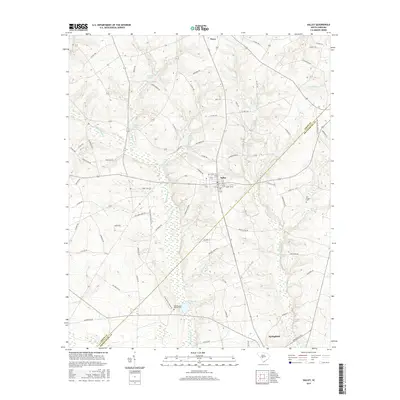
2017 Map of Salley
USGS Topo · Published 2017About this map
Salley and Springfield anchor the landscape of this portion of Aiken and Orangeburg counties, where a complex network of waterways defines the terrain. The central corridor is dominated by the expansive Dean Swamp Cr drainage, which includes several man-made or widened water bodies like Dean Swamp Pond and Lake Maxine. These local reservoirs and ponds, including Johnsons Pond and Millers Pond to the west, illustrate the historical reliance on water management for agriculture and local industry in the South Carolina Midlands.
Find a feature on this map
76 named features on this map. Tap any name to fly to it.
Don’t see what you’re looking for? This feature index may not catch every label — zoom into the map to look around manually.
Map Details
Editions of this 2017 Salley Map
This is the sole edition of this map. No revisions or reprints were ever made.
Other maps of this area

1919 · Bamberg
USGS Topo · 1:48,000

1920 · Bamberg
USGS Topo · 1:62,500

1923 · Williston
USGS Topo · 1:48,000

1927 · Williston
USGS Topo · 1:62,500

1943 · Bamberg
USGS Topo · 1:62,500

1943 · Williston
USGS Topo · 1:62,500

1944 · Seivern
USGS Topo · 1:62,500

1946 · Woodford
USGS Topo · 1:62,500

1954 · Augusta
USGS Topo · 1:250,000

1957 · Augusta
USGS Topo · 1:250,000