Loading...
Loading map...2024 Map of Salley
USGS Topo · Published 2024About this map
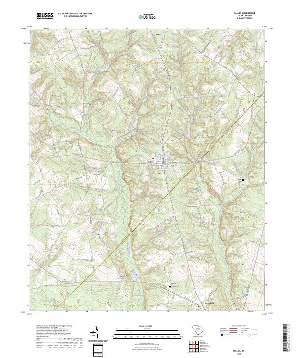
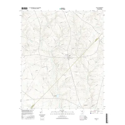
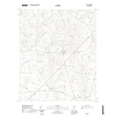
Salley serves as the central hub of this landscape, situated at the junction of several regional thoroughfares including Salley Rd and Poplar St SE. The area is defined by the winding course of Dean Swamp Creek, which feeds into Dean Swamp Pond and eventually Cowford Lake. This network of waterways and low-lying drainages like Abrams Branch and Bratcher Branch has historically influenced the placement of rural settlements and transport routes.
Find a feature on this map
106 named features on this map. Tap any name to fly to it.
Don’t see what you’re looking for? This feature index may not catch every label — zoom into the map to look around manually.
Map Details
Date Portrayed2024
Date Published2024
PublisherU.S. Geological Survey
Map TypeTopographic
Scale1:24,000
Physical Dimensions24 x 29 inches
Editions of this 2024 Salley Map
This is the sole edition of this map. No revisions or reprints were ever made.
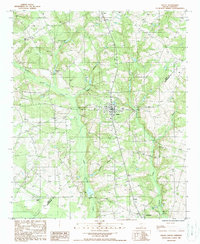
Historical Maps of Springfield Through Time
6 maps found
Featured Locations
Source Details
SourceU.S. Geological Survey
CopyrightPublic Domain