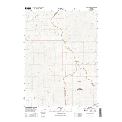
2015 Map of Salmon Mountain
USGS Topo · Published 2015About this map
Salmon Mountain stands as a central landmark at the meeting point of three major wilderness areas in Northern California. This high-altitude landscape is defined by the convergence of the Klamath National Forest, Six Rivers National Forest, and Trinity National Forest, where the borders of Humboldt, Siskiyou, and Trinity counties intersect. The terrain is marked by prominent crests such as Packsaddle Ridge and Horse Trail Ridge, which guide the flow of the Red Cap Cr and Nordheimer Cr watersheds. Isolated alpine features like Nordheimer Lake and Red Cap Lake are reached via primitive forest routes like 10n01, reflecting the area's use for resource management and remote recreation. The presence of Indian Rocks and the narrow Devils Backbone suggests a topography of sharp elevations and significant geological interest.
Find a feature on this map
40 named features on this map. Tap any name to fly to it.
Don’t see what you’re looking for? This feature index may not catch every label — zoom into the map to look around manually.
Map Details
Editions of this 2015 Salmon Mountain Map
This is the sole edition of this map. No revisions or reprints were ever made.
Other maps of this area

1925 · Hoopa
USGS Topo · 1:125,000

1948 · Weed
USGS Topo · 1:250,000

1950 · Weed
USGS Topo · 1:250,000

1952 · Hoopa
USGS Topo · 1:62,500

1952 · Orleans
USGS Topo · 1:62,500

1955 · Salmon Mtn
USGS Topo · 1:62,500

1955 · Forks of Salmon
USGS Topo · 1:62,500

1958 · Weed
USGS Topo · 1:250,000

1963 · Weed
USGS Topo · 1:250,000

1974 · Orleans Mtn.
USGS Topo · 1:24,000