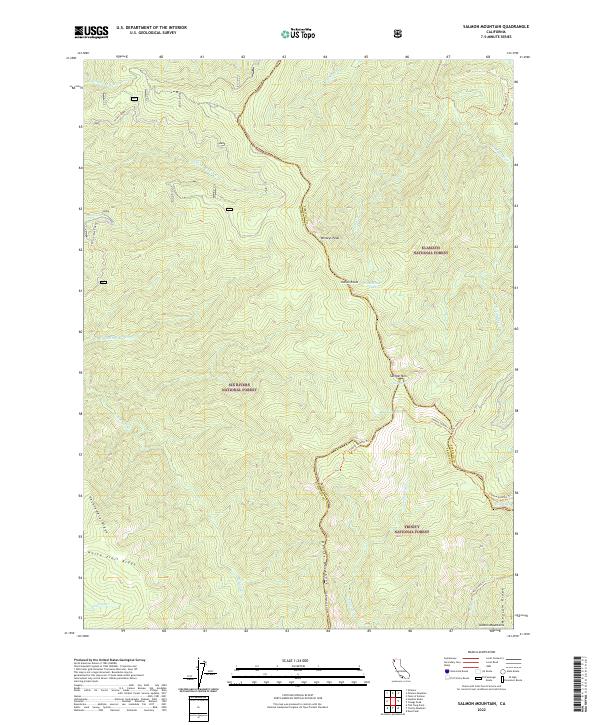
2022 Map of Salmon Mountain
USGS Topo · Published 2022About this map
Salmon Mtn rises as a central landmark in this high-altitude wilderness where the boundaries of Siskiyou, Humboldt, and Trinity counties meet. This survey shows the complex watershed of the Salmon Mountains, where the headwaters of Red Cap Cr, Eightmile Cr, and Nordheimer Cr originate from small glacial tarns like Red Cap Lake and Nordheimer Lake. The landscape is managed under the overlapping jurisdictions of Klamath National Forest, Six Rivers National Forest, and Trinity National Forest. Connectivity through this primitive terrain is maintained by a network of footpaths including the Salmon Summit Trl and Mullins Camp Trl, tracing narrow ridges like Devils Backbone and Packsaddle Ridge that have long served as the primary routes through these northern California peaks.
Find a feature on this map
36 named features on this map. Tap any name to fly to it.
Don’t see what you’re looking for? This feature index may not catch every label — zoom into the map to look around manually.
Map Details
Editions of this 2022 Salmon Mountain Map
This is the sole edition of this map. No revisions or reprints were ever made.
Other maps of this area

1925 · Hoopa
USGS Topo · 1:125,000

1948 · Weed
USGS Topo · 1:250,000

1950 · Weed
USGS Topo · 1:250,000

1952 · Hoopa
USGS Topo · 1:62,500

1952 · Orleans
USGS Topo · 1:62,500

1955 · Salmon Mtn
USGS Topo · 1:62,500

1955 · Forks of Salmon
USGS Topo · 1:62,500

1958 · Weed
USGS Topo · 1:250,000

1963 · Weed
USGS Topo · 1:250,000

1974 · Orleans Mtn.
USGS Topo · 1:24,000