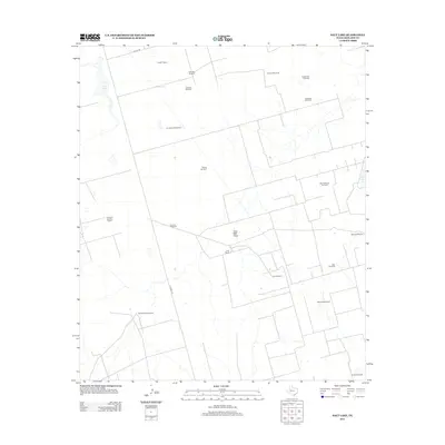
2012 Map of Salt Lake
USGS Topo · Published 2012About this map
Franklin Ranch and Hutt Ranch anchor this West Texas landscape, representing the enduring pastoral presence in Midland County. This 2012 survey illustrates the critical infrastructure of the arid Permian Basin, where life and industry are organized around water sources and resource extraction. The map is defined by a dense network of naming landmarks, specifically windmills that serve as vital navigational and functional points across the terrain. From the Winkleman Windmill in the north to the Oil Well Windmill in the south, these features highlight the dual economy of ranching and petroleum.
Find a feature on this map
23 named features on this map. Tap any name to fly to it.
Don’t see what you’re looking for? This feature index may not catch every label — zoom into the map to look around manually.
Map Details
Editions of this 2012 Salt Lake Map
This is the sole edition of this map. No revisions or reprints were ever made.
Other maps of this area

1954 · Pecos
USGS Topo · 1:250,000

1954 · San Angelo
USGS Topo · 1:250,000

1957 · Pecos
USGS Topo · 1:250,000

1958 · San Angelo
USGS Topo · 1:250,000

1964 · Bryant Ranch
USGS Topo · 1:24,000

1965 · San Angelo
USGS Topo · 1:250,000

1965 · Southeast Midland
USGS Topo · 1:24,000

1965 · Spraberry
USGS Topo · 1:24,000

1965 · Salt Lake
USGS Topo · 1:24,000

1965 · Pecks Lake
USGS Topo · 1:24,000