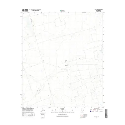
2016 Map of Salt Lake
USGS Topo · Published 2016About this map
Salt Lake sits at the northwestern corner of this West Texas landscape, marking a significant hydrologic feature in an otherwise arid expanse of Midland County. The terrain is defined by subtle drainage patterns, most notably Johnson Draw and Gray Well Draw, which cut through the landscape and suggest the movement of seasonal water toward Pecks Lake on the eastern boundary. This 2016 survey reveals a region primarily organized around ranching and oil-field infrastructure, with the rectilinear grid of county roads like S Co Rd 1160 and E Co Rd 190 providing the primary access through the open country. The contour lines indicate a gentle but persistent slope, illustrating the characteristic topography of the Permian Basin where drainage draws are the most prominent natural landmarks for local navigation and land management.
Find a feature on this map
6 named features on this map. Tap any name to fly to it.
Don’t see what you’re looking for? This feature index may not catch every label — zoom into the map to look around manually.
Map Details
Editions of this 2016 Salt Lake Map
This is the sole edition of this map. No revisions or reprints were ever made.
Other maps of this area

1954 · Pecos
USGS Topo · 1:250,000

1954 · San Angelo
USGS Topo · 1:250,000

1957 · Pecos
USGS Topo · 1:250,000

1958 · San Angelo
USGS Topo · 1:250,000

1964 · Bryant Ranch
USGS Topo · 1:24,000

1965 · San Angelo
USGS Topo · 1:250,000

1965 · Southeast Midland
USGS Topo · 1:24,000

1965 · Spraberry
USGS Topo · 1:24,000

1965 · Salt Lake
USGS Topo · 1:24,000

1965 · Pecks Lake
USGS Topo · 1:24,000