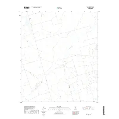
2019 Map of Salt Lake
USGS Topo · Published 2019About this map
Salt Lake defines the northwestern corner of this landscape in Midland County, providing a distinct geographic anchor in the Permian Basin's high plains. The terrain is characterized by the subtle drainage patterns of Johnson Draw and Gray Well Draw, which cut through the open country. These ephemeral watercourses and the presence of the namesake Salt Lake indicate a landscape shaped by seasonal water movement and mineral deposits. Human imprint is primarily visible through the organized grid of county roads, including E Co Rd 190 and S Co Rd 1160, which segment the land for ranching or resource management. This U.S. Geological Survey representation highlights the intersection of natural saline features and the infrastructure required to navigate this expansive part of West Texas.
Find a feature on this map
5 named features on this map. Tap any name to fly to it.
Don’t see what you’re looking for? This feature index may not catch every label — zoom into the map to look around manually.
Map Details
Editions of this 2019 Salt Lake Map
This is the sole edition of this map. No revisions or reprints were ever made.
Other maps of this area

1954 · Pecos
USGS Topo · 1:250,000

1954 · San Angelo
USGS Topo · 1:250,000

1957 · Pecos
USGS Topo · 1:250,000

1958 · San Angelo
USGS Topo · 1:250,000

1964 · Bryant Ranch
USGS Topo · 1:24,000

1965 · San Angelo
USGS Topo · 1:250,000

1965 · Southeast Midland
USGS Topo · 1:24,000

1965 · Spraberry
USGS Topo · 1:24,000

1965 · Salt Lake
USGS Topo · 1:24,000

1965 · Pecks Lake
USGS Topo · 1:24,000