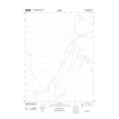
2011 Map of Salt Marsh
USGS Topo · Published 2011About this map
Salt Marsh dominates the eastern basin of this high-desert landscape in Washoe County, where ephemeral water patterns dictate the geography. The map documents a sophisticated water management system for this arid region, featuring the Dewey Parker Reservoir, Parker Reservoirs, and the specialized Dewey Parker Reservoir Number Two. These catchments, along with Buffalo Spring and the drainage of Buffalo Slough, highlight the importance of water rights and ranching infrastructure in the Great Basin. In the south, Smoke Creek cuts through the terrain, tracked by the path of Smoke Creek Rd, providing a primary transit corridor through the valley. This 2011 survey illustrates the precarious balance between natural alkali flats and the engineered water features necessary for habitation and agriculture in the Nevada desert.
Find a feature on this map
9 named features on this map. Tap any name to fly to it.
Don’t see what you’re looking for? This feature index may not catch every label — zoom into the map to look around manually.
Map Details
Editions of this 2011 Salt Marsh Map
This is the sole edition of this map. No revisions or reprints were ever made.
Other maps of this area

1886 · Granite Range
USGS Topo · 1:250,000

1894 · Granite Range
USGS Topo · 1:250,000

1955 · Lovelock
USGS Topo · 1:250,000

1959 · Lovelock
USGS Topo · 1:250,000

1965 · Fox Range
USGS Topo · 1:62,500

1980 · Salt Marsh
USGS Topo · 1:24,000
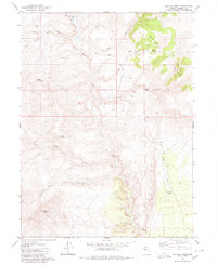
1980 · Buffalo Creek
USGS Topo · 1:24,000
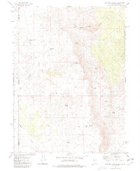
1980 · Red Rock Canyon
USGS Topo · 1:24,000
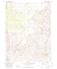
1980 · Mixie Flat
USGS Topo · 1:24,000

1980 · Hog Spring
USGS Topo · 1:24,000