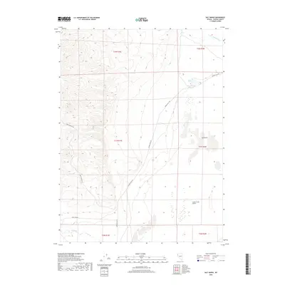
2018 Map of Salt Marsh
USGS Topo · Published 2018About this map
The arid Washoe County basin is defined by the expansive white expanse of the Salt Marsh and the northern reaches of the Smoke Creek Desert. This 2018 survey reveals a landscape shaped by intermittent water and high-desert infrastructure, where long-distance routes like Surprise Valley Rd and Smoke Creek Rd traverse the flat basin floor. Water sources are sparse but critical to the area's history, marked by the Dewey Parker Reservoir and Buffalo Spring, which feed into the ephemeral Buffalo Slough. To the west, the topography rises toward Burro Mountain Rd, while Smoke Cr meanders through the southern portion of the quadrangle. The map captures the distinct Public Land Survey System boundaries, including the intersections of townships T31N and T32N across ranges R19E and R20E, illustrating the precise sectioning of this remote Nevada interior.
Find a feature on this map
15 named features on this map. Tap any name to fly to it.
Don’t see what you’re looking for? This feature index may not catch every label — zoom into the map to look around manually.
Map Details
Editions of this 2018 Salt Marsh Map
This is the sole edition of this map. No revisions or reprints were ever made.
Other maps of this area

1886 · Granite Range
USGS Topo · 1:250,000

1894 · Granite Range
USGS Topo · 1:250,000

1955 · Lovelock
USGS Topo · 1:250,000

1959 · Lovelock
USGS Topo · 1:250,000

1965 · Fox Range
USGS Topo · 1:62,500

1980 · Salt Marsh
USGS Topo · 1:24,000
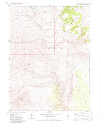
1980 · Buffalo Creek
USGS Topo · 1:24,000
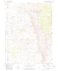
1980 · Red Rock Canyon
USGS Topo · 1:24,000
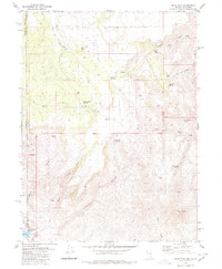
1980 · Mixie Flat
USGS Topo · 1:24,000

1980 · Hog Spring
USGS Topo · 1:24,000