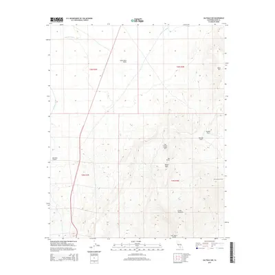
2015 Map of Saltdale NW
USGS Topo · Published 2015About this map
Burro Schmidts Tunnel and the Last Chance Canyon Arch define the high desert character of this Kern County region. The terrain is dominated by the El Paso Mountains and the northern reaches of the Mojave Desert, where the landscape is carved by Last Chance Canyon and numerous drainages like Boulder Gulch and Bonanza Gulch. This map provides a clear view of the infrastructure supporting the arid valley, most notably the path of the Los Angeles Aqueduct as it skirts the edge of Red Rock Canyon. The transition from the Indian Wells Valley to the more varied elevations of the Black Hills and Red Buttes illustrates the complex topography of the eastern High Sierra rain shadow. It is a vital record for tracing mining-era landmarks and engineering feats in a landscape defined by seasonal washes like Little Dixie Wash.
Find a feature on this map
17 named features on this map. Tap any name to fly to it.
Don’t see what you’re looking for? This feature index may not catch every label — zoom into the map to look around manually.
Map Details
Editions of this 2015 Saltdale NW Map
This is the sole edition of this map. No revisions or reprints were ever made.
Other maps of this area

1906 · Kernville
USGS Topo · 1:125,000

1908 · Kernville
USGS Topo · 1:125,000

1915 · Searles Lake
USGS Topo · 1:250,000

1915 · Mojave
USGS Topo · 1:125,000

1943 · Inyokern
USGS Topo · 1:62,500

1943 · Cross Mountain
USGS Topo · 1:62,500

1943 · Saltdale
USGS Topo · 1:62,500

1943 · Onyx
USGS Topo · 1:62,500

1947 · Trona
USGS Topo · 1:250,000

1948 · Trona
USGS Topo · 1:250,000