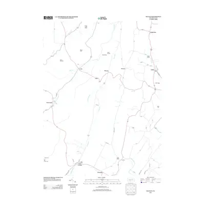
2013 Map of Saltillo
USGS Topo · Published 2013About this map
Trough Creek Valley dominates the northern reaches of this topographic study, where the landscape is defined by long, parallel ridges and narrow hollows. Small settlements like Saltillo and Knightsville anchor the eastern side of the quadrangle, while the mining-heritage area around Robertsdale marks the western edge. The terrain is notably punctuated by landmarks such as Rock Hill Lookout Tower and prominent elevations including Grave Mountain and Rocky Ridge.
Find a feature on this map
51 named features on this map. Tap any name to fly to it.
Don’t see what you’re looking for? This feature index may not catch every label — zoom into the map to look around manually.
Map Details
Editions of this 2013 Saltillo Map
This is the sole edition of this map. No revisions or reprints were ever made.
Other maps of this area

1901 · Huntingdon
USGS Topo · 1:62,500

1904 · Huntingdon
USGS Topo · 1:62,500

1922 · Mt Union
USGS Topo · 1:48,000

1924 · Mt. Union
USGS Topo · 1:62,500

1930 · Broad Top
USGS Topo · 1:62,500

1933 · Broad Top
USGS Topo · 1:62,500

1939 · Orbisonia
USGS Topo · 1:62,500

1940 · Orbisonia
USGS Topo · 1:62,500

1944 · Orbisonia
USGS Topo · 1:62,500

1944 · Mt. Union
USGS Topo · 1:62,500