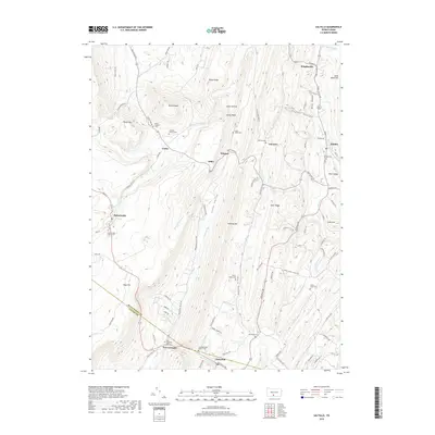
2019 Map of Saltillo
USGS Topo · Published 2019About this map
Sideling Hill and Jacks Mountain dominate this section of the Ridge-and-Valley Appalachians, framing a series of narrow agricultural and residential corridors. The map reveals a dense network of early settlements and family history markers, particularly the numerous burial grounds like the Edwards Family Cem and the Robertsdale Italian Cem, the latter reflecting the immigrant labor history of the local coal and rail industries.
Find a feature on this map
91 named features on this map. Tap any name to fly to it.
Don’t see what you’re looking for? This feature index may not catch every label — zoom into the map to look around manually.
Map Details
Editions of this 2019 Saltillo Map
This is the sole edition of this map. No revisions or reprints were ever made.
Other maps of this area

1901 · Huntingdon
USGS Topo · 1:62,500

1904 · Huntingdon
USGS Topo · 1:62,500

1922 · Mt Union
USGS Topo · 1:48,000

1924 · Mt. Union
USGS Topo · 1:62,500

1930 · Broad Top
USGS Topo · 1:62,500

1933 · Broad Top
USGS Topo · 1:62,500

1939 · Orbisonia
USGS Topo · 1:62,500

1940 · Orbisonia
USGS Topo · 1:62,500

1944 · Orbisonia
USGS Topo · 1:62,500

1944 · Mt. Union
USGS Topo · 1:62,500