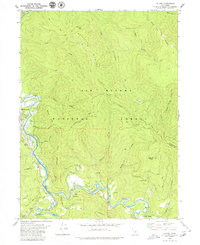
1997 Map of Salyer
USGS Topo · Published 2001About this map
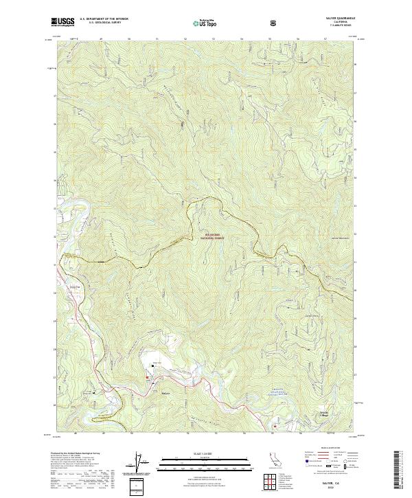
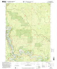
The confluence of the Trinity River and the South Fork Trinity River anchors this late-1990s survey of the Klamath Mountains region. Small riverfront settlements like Salyer, Willow Creek, and Trinity Village are clustered along the water's edge, highlighting the area's dependence on the river valleys for transportation and habitation. Much of the surrounding landscape is defined by the Six Rivers National Forest and the Trinity Alps Wilderness, where steep ridges such as Waterman Ridge and Baldwin Ridge dominate the topography. Local history is evidenced by small-scale features like a Schoolhouse, a Cem, and a Mine, which suggest the earlier resource-based and community-centered foundations of these mountain outposts. The designation of the Trinity Wild and Scenic River reflects the transition of the landscape from primarily industrial or extractive use toward a focus on recreation and preservation.
Find a feature on this map
34 named features on this map. Tap any name to fly to it.
Don’t see what you’re looking for? This feature index may not catch every label — zoom into the map to look around manually.
Map Details
Editions of this 1997 Salyer Map
This is the sole edition of this map. No revisions or reprints were ever made.
Historical Maps of Trinity Village Through Time
6 maps found