
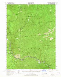
1951 Map of Ironside Mountain
USGS Topo · Published 1953About this map
Six Rivers National Forest and Trinity National Forest dominate this mid-century landscape, where the confluence of the New River and the South Fork Trinity River dictates the pattern of human activity. The map documents a transition in resource extraction and management, visible through the presence of the Index Mine and Hazel D Mine alongside administrative outposts like the Penny Guard Station and Hayden Flat Guard Station. The river corridors are the lifeblood of the region, dotted with named river bars such as Luccock Bar, Sandy Bar, and New York Bar that recall the area's prospecting history.
Find a feature on this map
91 named features on this map. Tap any name to fly to it.
Don’t see what you’re looking for? This feature index may not catch every label — zoom into the map to look around manually.
Map Details
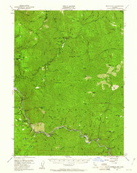
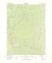
Editions of this 1951 Ironside Mountain Map
4 editions found
Other maps of this area

1909 · Big Bar
USGS Topo · 1:96,000

1914 · Pilot Creek
USGS Topo · 1:62,500

1915 · Big Bar and Vicinity
USGS Topo · 1:250,000

1922 · China Flat
USGS Topo · 1:62,500

1925 · Hoopa
USGS Topo · 1:125,000

1948 · Weed
USGS Topo · 1:250,000

1950 · Weed
USGS Topo · 1:250,000

1951 · Pilot Creek
USGS Topo · 1:62,500

1951 · Hayfork
USGS Topo · 1:62,500

1951 · Helena
USGS Topo · 1:62,500