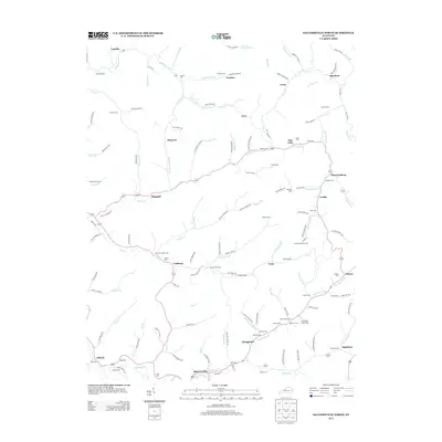
2013 Map of Salyersville North
USGS Topo · Published 2013About this map
Salyersville anchors the southern edge of this Magoffin County survey, where the Licking River and Coal Br shape the valley floor. The surrounding landscape is defined by an intricate network of narrow hollows and creeks, including Raccoon Cr, Brushy Fork, and Big Mine Fork. These waterways historically dictated the placement of small rural communities like Logville, Lacey, and Wheelersburg.
Find a feature on this map
143 named features on this map. Tap any name to fly to it.
Don’t see what you’re looking for? This feature index may not catch every label — zoom into the map to look around manually.
Map Details
Editions of this 2013 Salyersville North Map
This is the sole edition of this map. No revisions or reprints were ever made.
Other maps of this area

1886 · Prestonsburg
USGS Topo · 1:125,000

1889 · Salyersville
USGS Topo · 1:125,000

1891 · Salyersville
USGS Topo · 1:125,000

1892 · Prestonsburg
USGS Topo · 1:125,000

1899 · Salyersville
USGS Topo · 1:125,000

1915 · Paintsville
USGS Topo · 1:48,000

1915 · Prestonsburg
USGS Topo · 1:62,500

1917 · Paintsville
USGS Topo · 1:62,500

1918 · Prestonsburg
USGS Topo · 1:62,500

1950 · Lenox
USGS Topo · 1:24,000