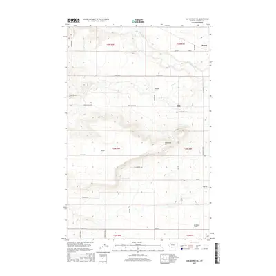
2017 Map of Sam George Hill
USGS Topo · Published 2017About this map
Sam George Hill rises above a landscape defined by the deep incisions of the Dry Fork Marias River and its many tributary coulees in this section of Pondera County. The small settlement of Manson sits in the northeast, serving a region where ranching and agriculture are organized around the local topography. Significant landforms like Benton Bench and Uncle Sam Coulee characterize the terrain, while water management is anchored by the Conrad Reservoir. A dense grid of rural roads and lanes, such as Coalmine Rd and Graham Ranch Ln, reflects a long history of land division and homestead access across the plains. Researchers will find numerous family-named landmarks including Haatvedt Coulee and DeBoer Coulee, which often signify the original settlers of these drainages.
Find a feature on this map
33 named features on this map. Tap any name to fly to it.
Don’t see what you’re looking for? This feature index may not catch every label — zoom into the map to look around manually.
Map Details
Editions of this 2017 Sam George Hill Map
This is the sole edition of this map. No revisions or reprints were ever made.
Other maps of this area

1920 · Dupuyer
USGS Topo · 1:125,000

1920 · Conrad
USGS Topo · 1:125,000

1934 · Valier
USGS Topo · 1:62,500

1937 · Valier
USGS Topo · 1:62,500

1938 · Gallup City
USGS Topo · 1:62,500

1942 · Gallup City
USGS Topo · 1:62,500

1954 · Shelby
USGS Topo · 1:250,000

1958 · Shelby
USGS Topo · 1:250,000

1960 · Cut Bank
USGS Topo · 1:250,000

1963 · Cut Bank
USGS Topo · 1:250,000