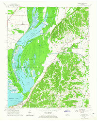
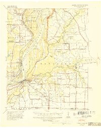
1964 Map of Samburg
USGS Topo · Published 1965About this map
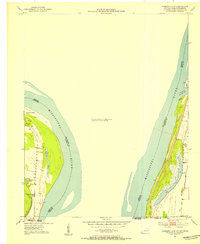
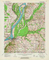
Reelfoot Lake dominates the western half of this landscape, its waters divided into complex segments like Blue Basin, Buck Basin, and Carey Basin. The shoreline and adjacent bottomlands are managed as the Reelfoot National Wildlife Refuge, a mosaic of sloughs and islands including Grassy Island and Horse Island. This mid-century survey captures the interplay between the lake's ecological conservation and the rural life on its eastern edge, where the terrain rises sharply from the basin floor. The Illinois Central railroad tracks cut through the northwestern corner near Phillippy, while local commerce and community life cluster at Samburg and Walnut Log. Small landmarks like Indian Mound and country churches such as Midway Ch and Star of Bethlehem Ch dot the rolling hills above the lake, marking long-standing patterns of settlement and faith in this unique corner of Northwest Tennessee.
Find a feature on this map
51 named features on this map. Tap any name to fly to it.
Don’t see what you’re looking for? This feature index may not catch every label — zoom into the map to look around manually.
Map Details
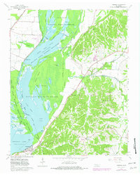
Editions of this 1964 Samburg Map
2 editions found
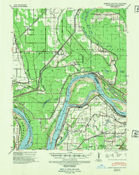
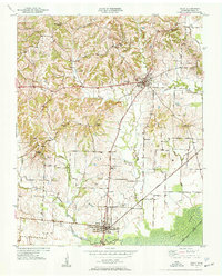
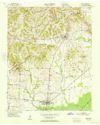
Other maps of this area
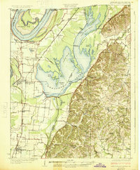
1925 · Reelfoot Lake
USGS Topo · 1:62,500
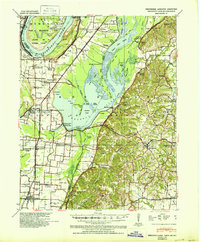
1939 · Reelfoot Lake
USGS Topo · 1:62,500
1939 · Hickman
USGS Topo · 1:62,500
1939 · Bayouville
USGS Topo · 1:62,500
1950 · Obion
USGS Topo · 1:24,000
1951 · Obion
USGS Topo · 1:24,000
1951 · Bondurant
USGS Topo · 1:24,000
1951 · Hickman
USGS Topo · 1:24,000
1951 · Hubbard Lake
USGS Topo · 1:24,000
1954 · Hickman
USGS Topo · 1:62,500