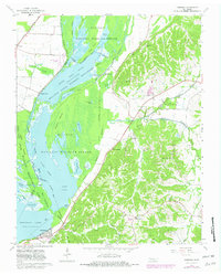
1964 Map of Samburg
USGS Topo · Published 1982About this map
Reelfoot Lake and its intricate network of basins dominate this landscape along the border of Lake and Obion Counties. The area is defined by the extensive Reelfoot National Wildlife Refuge, which protects a labyrinth of waterways including Upper Blue Basin, Buck Basin, and Buzzard Slough. To the west, the Illinois Central Gulf railroad skirts the northwestern corner near Phillippy, while the community of Samburg sits at the water's edge in the south.
Find a feature on this map
52 named features on this map. Tap any name to fly to it.
Don’t see what you’re looking for? This feature index may not catch every label — zoom into the map to look around manually.
Map Details
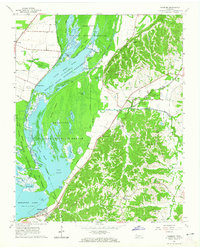
Editions of this 1964 Samburg Map
2 editions found
Other maps of this area

1925 · Reelfoot Lake
USGS Topo · 1:62,500

1939 · Reelfoot Lake
USGS Topo · 1:62,500

1939 · Hickman
USGS Topo · 1:62,500

1939 · Bayouville
USGS Topo · 1:62,500

1950 · Obion
USGS Topo · 1:24,000

1951 · Obion
USGS Topo · 1:24,000

1951 · Bondurant
USGS Topo · 1:24,000

1951 · Hickman
USGS Topo · 1:24,000

1951 · Hubbard Lake
USGS Topo · 1:24,000

1954 · Hickman
USGS Topo · 1:62,500