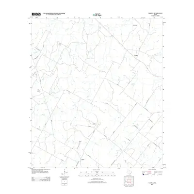
2013 Map of Sample
USGS Topo · Published 2013About this map
Sample and the surrounding rural landscape of Gonzales County are defined by a network of creeks and small family settlements. This area, largely agricultural, is drained by the winding courses of Sandies Cr and Elm Cr in the north, while Shoats Cr and Rocky Cr cut across the central and southern reaches. The map documents the physical heritage of the region through landmarks like the Van Cleave Mound and localized points of interest such as Gwen Lake and Wolf Hollow.
Find a feature on this map
48 named features on this map. Tap any name to fly to it.
Don’t see what you’re looking for? This feature index may not catch every label — zoom into the map to look around manually.
Map Details
Editions of this 2013 Sample Map
This is the sole edition of this map. No revisions or reprints were ever made.
Other maps of this area

1920 · Smiley
USGS Topo · 1:125,000

1953 · Seguin
USGS Topo · 1:250,000

1958 · Seguin
USGS Topo · 1:250,000

1960 · Blackwell Lake
USGS Topo · 1:24,000

1960 · Cheapside
USGS Topo · 1:24,000

1960 · Westhoff
USGS Topo · 1:24,000

1961 · Sample
USGS Topo · 1:24,000
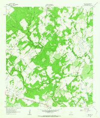
1961 · Pilgrim
USGS Topo · 1:24,000

1961 · New Davy
USGS Topo · 1:24,000
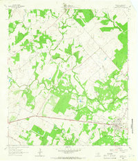
1962 · Smiley
USGS Topo · 1:24,000