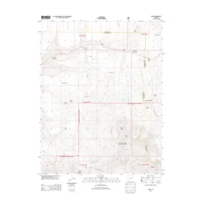
2013 Map of Sams
USGS Topo · Published 2013About this map
Dallas Divide serves as a prominent transition point in this high-altitude landscape where Ouray and San Miguel counties meet. The terrain is defined by dramatic elevation changes, ranging from the flat expanses of Hastings Mesa to the towering summits of Hayden Peak and North Pole Peak within the Uncompahgre National Forest.
Find a feature on this map
47 named features on this map. Tap any name to fly to it.
Don’t see what you’re looking for? This feature index may not catch every label — zoom into the map to look around manually.
Map Details
Editions of this 2013 Sams Map
This is the sole edition of this map. No revisions or reprints were ever made.
Other maps of this area

1897 · Telluride
USGS Topo · 1:62,500

1904 · Telluride
USGS Topo · 1:62,500

1909 · Montrose
USGS Topo · 1:125,000

1911 · Montrose
USGS Topo · 1:125,000

1945 · Durango
USGS Topo · 1:250,000

1953 · Placerville
USGS Topo · 1:24,000
1953 · Gray Head
USGS Topo · 1:24,000

1953 · Little Cone
USGS Topo · 1:24,000

1953 · Durango
USGS Topo · 1:250,000

1954 · Durango
USGS Topo · 1:250,000