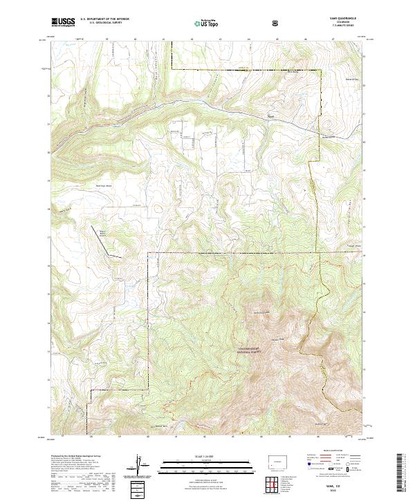
2022 Map of Sams
USGS Topo · Published 2022About this map
Hastings Mesa and the surrounding high country of Uncompahgre National Forest dominate this 2022 survey of the San Miguel and Ouray county lines. The landscape is defined by the headwaters of the San Miguel River system, including Leopard Cr and the complex drainage of the Middle Fork Leopard Cr. The small settlement of Noel sits at the northern edge, while the south is anchored by the formidable peaks of the San Juan Mountains, including Hayden Peak and Last Dollar Mtn.
Find a feature on this map
59 named features on this map. Tap any name to fly to it.
Don’t see what you’re looking for? This feature index may not catch every label — zoom into the map to look around manually.
Map Details
Editions of this 2022 Sams Map
This is the sole edition of this map. No revisions or reprints were ever made.
Other maps of this area

1897 · Telluride
USGS Topo · 1:62,500

1904 · Telluride
USGS Topo · 1:62,500

1909 · Montrose
USGS Topo · 1:125,000

1911 · Montrose
USGS Topo · 1:125,000

1945 · Durango
USGS Topo · 1:250,000

1953 · Placerville
USGS Topo · 1:24,000
1953 · Gray Head
USGS Topo · 1:24,000

1953 · Little Cone
USGS Topo · 1:24,000

1953 · Durango
USGS Topo · 1:250,000

1954 · Durango
USGS Topo · 1:250,000