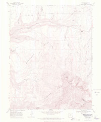
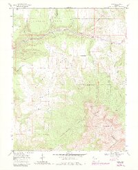
1967 Map of Sams
USGS Topo · Published 1971About this map
Uncompahgre National Forest dominates the high-elevation landscape of this 1967 survey, covering the formidable peaks of the San Juan Mountains including North Pole Peak and Hayden Peak. In the northern section, the high-country ranching and transit patterns of the era are visible across Howard Flats and Hastings. The map shows a clear shift from industrial to recreational land use, featuring a ski tow near the Dallas Divide, alongside the remnants of earlier infrastructure like the Old RR Grade.
Find a feature on this map
40 named features on this map. Tap any name to fly to it.
Don’t see what you’re looking for? This feature index may not catch every label — zoom into the map to look around manually.
Map Details
Editions of this 1967 Sams Map
5 editions found
Other maps of this area

1897 · Telluride
USGS Topo · 1:62,500

1904 · Telluride
USGS Topo · 1:62,500

1909 · Montrose
USGS Topo · 1:125,000

1911 · Montrose
USGS Topo · 1:125,000

1945 · Durango
USGS Topo · 1:250,000

1953 · Placerville
USGS Topo · 1:24,000
1953 · Gray Head
USGS Topo · 1:24,000

1953 · Little Cone
USGS Topo · 1:24,000

1953 · Durango
USGS Topo · 1:250,000

1954 · Durango
USGS Topo · 1:250,000