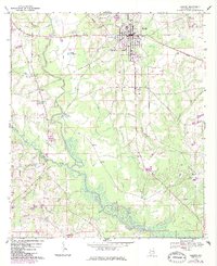
1968 Map of Samson
USGS Topo · Published 1986About this map
Samson serves as the primary hub of activity in this West Geneva County landscape, where the Seaboard Coast Line railroad and several state routes converge. The map documents a community deeply rooted in its local institutions, including the Lewis High Sch, the Armory, and numerous rural sanctuaries like Oak Ridge Ch and New Mt Zion Ch. The winding course of the Pea River and its many tributaries, such as Flat Creek and Gin Creek, define the topography and agricultural layout of the region. Evidence of historical infrastructure appears in the Old Railroad Grade and the Columbus and Holley Road, tracing older routes through the countryside. Local industry and recreation are represented by the Pettits Fishponds, a Fish Hatchery, and a Drive-in Theater located south of the main town site.
Find a feature on this map
43 named features on this map. Tap any name to fly to it.
Don’t see what you’re looking for? This feature index may not catch every label — zoom into the map to look around manually.
Map Details
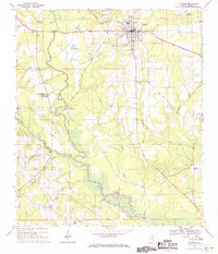
Editions of this 1968 Samson Map
2 editions found
Other maps of this area

1942 · Enterprise
USGS Topo · 1:125,000

1949 · Glendale
USGS Topo · 1:62,500

1949 · Hobbs Crossroads
USGS Topo · 1:24,000

1950 · Hobbs Cross Roads
USGS Topo · 1:24,000

1951 · Glendale
USGS Topo · 1:62,500

1953 · Andalusia
USGS Topo · 1:250,000

1953 · Dothan
USGS Topo · 1:250,000

1954 · Dothan
USGS Topo · 1:250,000

1954 · Tallahassee
USGS Topo · 1:250,000

1955 · Dothan
USGS Topo · 1:250,000