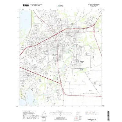
2019 Map of San Angelo South
USGS Topo · Published 2019About this map
San Angelo's urban grid and industrial rail hubs are captured here at the convergence of the north and south forks of the Concho River. This 2019 survey highlights the complex drainage system of the West Texas plains, showing the North Concho River and South Concho River feeding into reservoirs like Lake Nasworthy and Lone Wolf Reservoir. The map reveals the city's growth patterns along W State Hwy Loop 306 and the Houston Harte Frontage roads. Genealogists and local historians will find significant detail in the various burial grounds scattered across the landscape, including the large Fairmount Cem and the more outlying Lawnhaven Memorial Gardens. Rail activity is centered on junctions such as Alvery Junction and S N Junction, which serve as markers of the area's logistical importance to the surrounding Lipan Flat ranching and agricultural region.
Find a feature on this map
22 named features on this map. Tap any name to fly to it.
Don’t see what you’re looking for? This feature index may not catch every label — zoom into the map to look around manually.
Map Details
Editions of this 2019 San Angelo South Map
This is the sole edition of this map. No revisions or reprints were ever made.
Other maps of this area

1891 · Hayrick
USGS Topo · 1:125,000

1892 · San Angelo
USGS Topo · 1:125,000

1894 · Hayrick
USGS Topo · 1:125,000

1895 · Sherwood
USGS Topo · 1:125,000

1924 · San Angelo 2-c
USGS Topo · 1:48,000

1924 · Sherwood 1-d
USGS Topo · 1:48,000

1924 · San Angelo 2-b
USGS Topo · 1:48,000

1924 · Sherwood 1-a
USGS Topo · 1:48,000

1928 · Wall
USGS Topo · 1:62,500

1928 · Tankersly
USGS Topo · 1:62,500