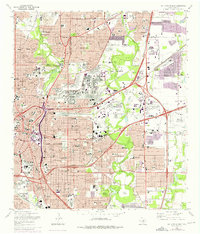
1967 Map of San Antonio East
USGS Topo · Published 1975About this map
Fort Sam Houston dominates the central landscape of this East San Antonio survey, illustrating the extensive military footprint in Bexar County during the late 1960s. The map captures the dense residential expansion of Alamo Heights and Terrell Hills as they press against the vast training grounds and airfield facilities. To the west, the San Antonio River winds through the cultural core of Brackenridge Park, home to the Zoo and Alamo Stadium. This period reveals a city in transition, where new developments shown in purple revisions, such as the San Antonio Air Force Station, sit alongside significant historical markers like the Dawson Massacre Historical Monument. The intricate rail network of the Southern Pacific and Missouri Pacific lines remains a primary artery for the industrial sectors near Kirby, while numerous schools and parochial institutions like Incarnate Word College and St Philips College anchor the growing suburban neighborhoods.
Find a feature on this map
152 named features on this map. Tap any name to fly to it.
Don’t see what you’re looking for? This feature index may not catch every label — zoom into the map to look around manually.
Map Details
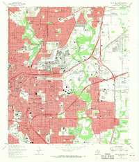
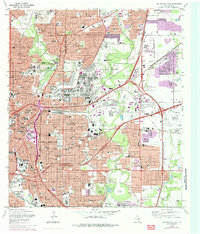
Editions of this 1967 San Antonio East Map
Other maps of this area

1953 · Schertz
USGS Topo · 1:24,000

1953 · San Antonio West
USGS Topo · 1:24,000

1953 · San Antonio East
USGS Topo · 1:24,000

1953 · Terrell Wells
USGS Topo · 1:24,000

1953 · Longhorn
USGS Topo · 1:24,000

1953 · Elmendorf
USGS Topo · 1:24,000

1953 · Southton
USGS Topo · 1:24,000

1953 · Castle Hills
USGS Topo · 1:24,000

1953 · Martinez
USGS Topo · 1:24,000

1954 · San Antonio
USGS Topo · 1:250,000