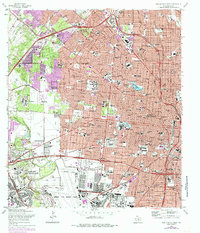
1967 Map of San Antonio West
USGS Topo · Published 1985About this map
San Antonio expands westward in this study, where the urban grid meets significant military installations and academic institutions. The landscape is heavily influenced by the presence of Lackland Air Force Base and Kelly Air Force Base, which anchor the southwestern portion of the sheet near Kelly Field. These bases, alongside the Union Stock Yards and several Gravel Pits, highlight the industrial and defense-oriented economy that shaped the city's mid-century growth.
Find a feature on this map
100 named features on this map. Tap any name to fly to it.
Don’t see what you’re looking for? This feature index may not catch every label — zoom into the map to look around manually.
Map Details
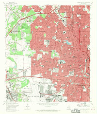
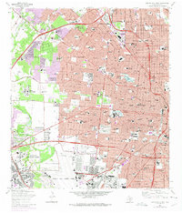
Editions of this 1967 San Antonio West Map
Other maps of this area

1953 · Culebra Hill
USGS Topo · 1:24,000

1953 · San Antonio West
USGS Topo · 1:24,000

1953 · San Antonio East
USGS Topo · 1:24,000

1953 · Terrell Wells
USGS Topo · 1:24,000

1953 · Longhorn
USGS Topo · 1:24,000

1953 · Macdona
USGS Topo · 1:24,000

1953 · Southton
USGS Topo · 1:24,000

1953 · Helotes
USGS Topo · 1:24,000

1953 · Castle Hills
USGS Topo · 1:24,000

1954 · San Antonio
USGS Topo · 1:250,000