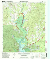
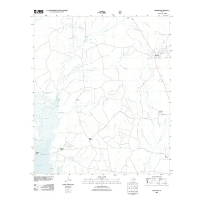
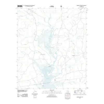
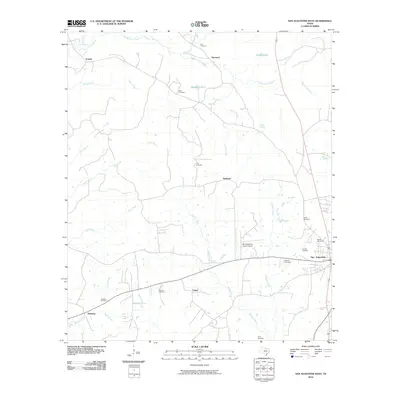
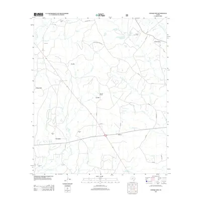
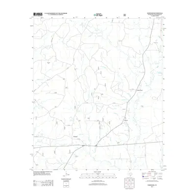
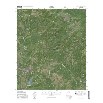
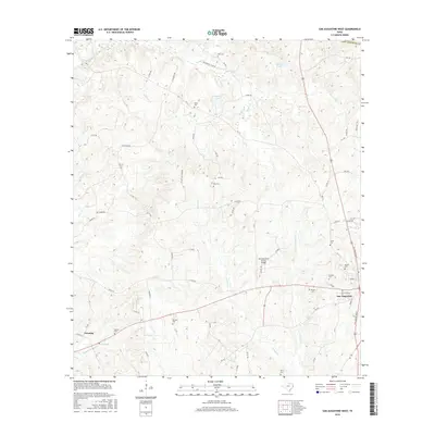
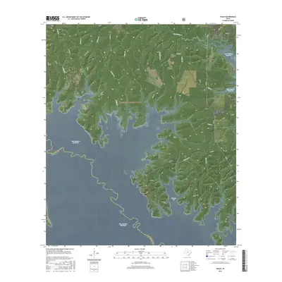
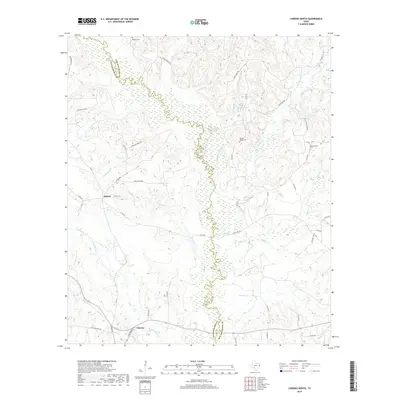
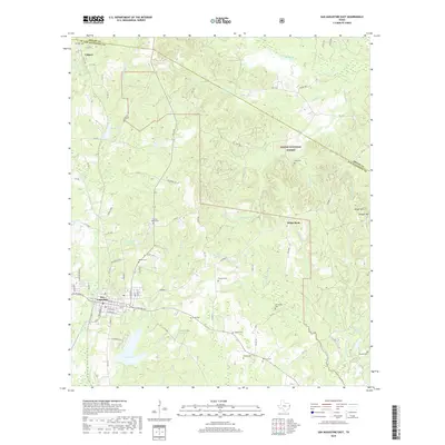
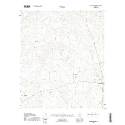
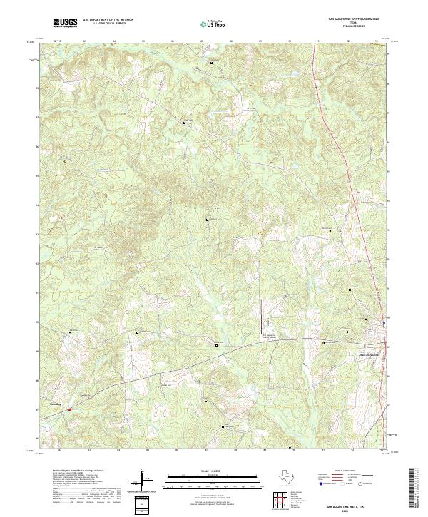
1984 Map of San Augustine West
USGS Topo · Published 1985About this map
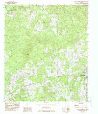
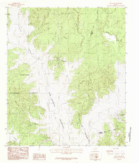
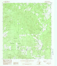
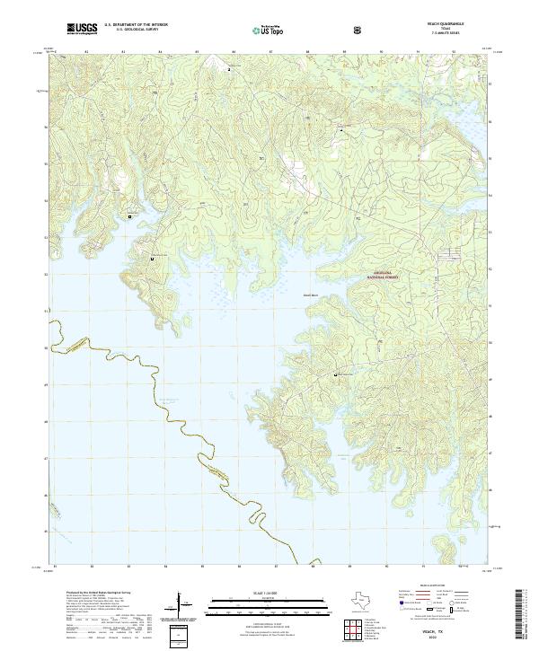
Deep piney woods and creek bottoms define the rural landscape west of San Augustine in the late 1970s and early 1980s. The terrain is deeply etched by a network of waterways including Big Iron Ore Creek, Venado Creek, and Hulse Creek, which drain the timber-heavy slopes toward the west. Settlement is scattered among small communities and agricultural clearings such as Ironosa, Redland, and Denning.
Find a feature on this map
26 named features on this map. Tap any name to fly to it.
Don’t see what you’re looking for? This feature index may not catch every label — zoom into the map to look around manually.
Map Details
Editions of this 1984 San Augustine West Map
This is the sole edition of this map. No revisions or reprints were ever made.
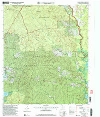
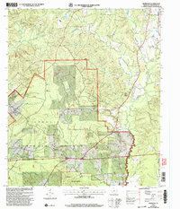
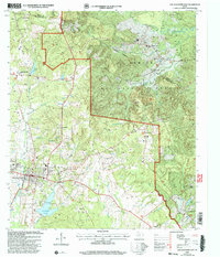
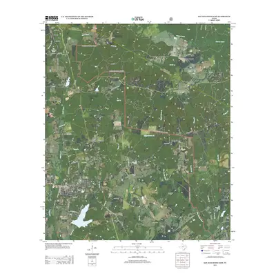
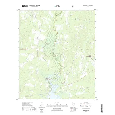
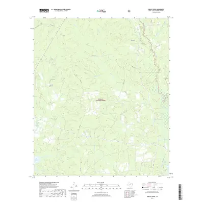
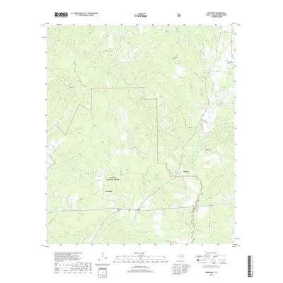
Historical Maps of San Augustine Through Time
68 maps found
1958 Bronson
San Augustine County, TX
1958 Mc Gee Bend
San Augustine County, TX
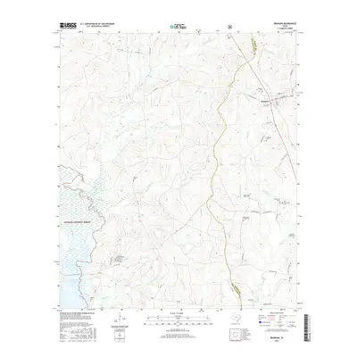
1984 Bronson
San Augustine County, TX
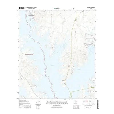
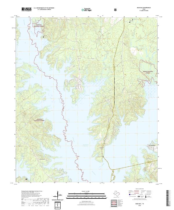
1984 Buck Bay
San Augustine County, TX
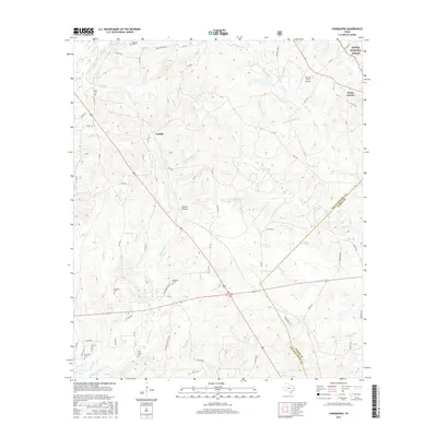
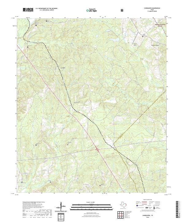
1984 Chinquapin
San Augustine County, TX
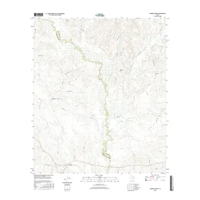
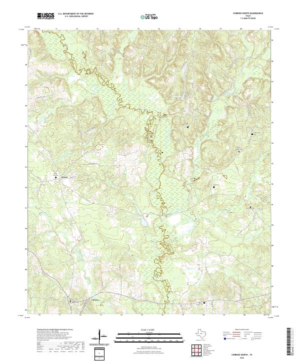
1984 Chireno North
San Augustine County, TX
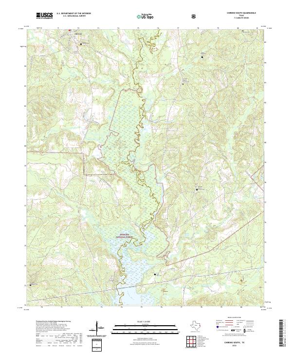
1984 Chireno South
San Augustine County, TX

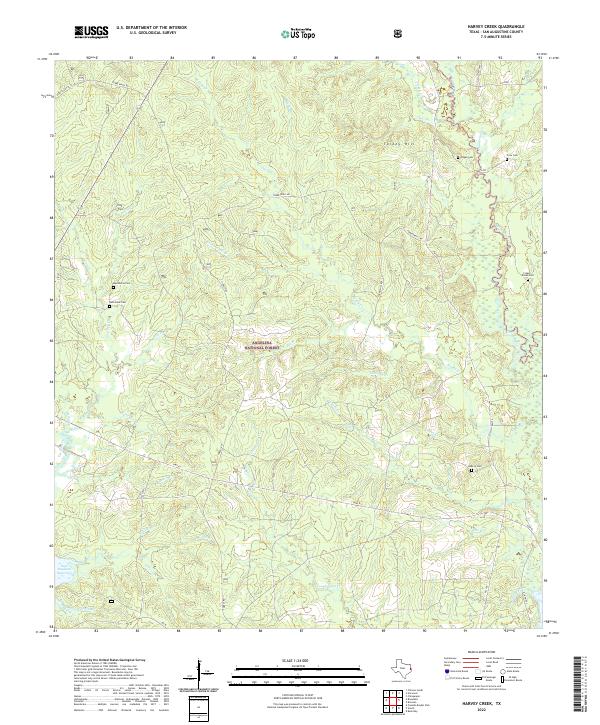
1984 Harvey Creek
San Augustine County, TX
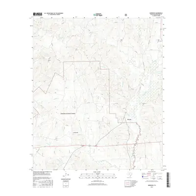
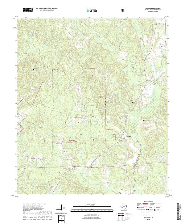
1984 Norwood
San Augustine County, TX
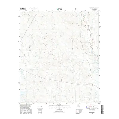
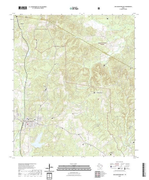
1984 San Augustine East
San Augustine County, TX
1984 San Augustine West
San Augustine County, TX
1984 Veach
San Augustine County, TX
2003 Buck Bay
San Augustine County, TX
2003 Chireno South
San Augustine County, TX
2003 Harvey Creek
San Augustine County, TX
2003 Norwood
San Augustine County, TX
2003 San Augustine East
San Augustine County, TX

2003 Veach
San Augustine County, TX
2010 Bronson
San Augustine County, TX
2010 Buck Bay
San Augustine County, TX
2010 Chinquapin
San Augustine County, TX
2010 Chireno North
San Augustine County, TX
2010 Chireno South
San Augustine County, TX
2010 Harvey Creek
San Augustine County, TX
2010 Norwood
San Augustine County, TX
2010 San Augustine East
San Augustine County, TX
2010 San Augustine West
San Augustine County, TX
2011 Veach
San Augustine County, TX
2013 Bronson
San Augustine County, TX
2013 Buck Bay
San Augustine County, TX
2013 Chinquapin
San Augustine County, TX
2013 Chireno North
San Augustine County, TX
2013 Chireno South
San Augustine County, TX
2013 Harvey Creek
San Augustine County, TX
2013 Norwood
San Augustine County, TX
2013 San Augustine East
San Augustine County, TX
2013 San Augustine West
San Augustine County, TX
2013 Veach
San Augustine County, TX
2016 Bronson
San Augustine County, TX
2016 Buck Bay
San Augustine County, TX
2016 Chinquapin
San Augustine County, TX
2016 Chireno North
San Augustine County, TX

2016 Chireno South
San Augustine County, TX
2016 Harvey Creek
San Augustine County, TX
2016 Norwood
San Augustine County, TX
2016 San Augustine East
San Augustine County, TX
2016 San Augustine West
San Augustine County, TX
2016 Veach
San Augustine County, TX
2019 Bronson
San Augustine County, TX
2019 Buck Bay
San Augustine County, TX
2019 Chinquapin
San Augustine County, TX
2019 Chireno North
San Augustine County, TX
2019 Chireno South
San Augustine County, TX
2019 Harvey Creek
San Augustine County, TX
2019 Norwood
San Augustine County, TX
2019 San Augustine East
San Augustine County, TX
2019 San Augustine West
San Augustine County, TX
2019 Veach
San Augustine County, TX
2022 Bronson
San Augustine County, TX
2022 Buck Bay
San Augustine County, TX
2022 Chinquapin
San Augustine County, TX
2022 Chireno North
San Augustine County, TX
2022 Chireno South
San Augustine County, TX
2022 Harvey Creek
San Augustine County, TX
2022 Norwood
San Augustine County, TX
2022 San Augustine East
San Augustine County, TX
2022 San Augustine West
San Augustine County, TX
2022 Veach
San Augustine County, TX