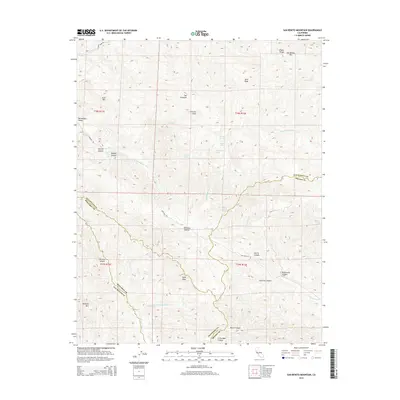
2015 Map of San Benito Mountain
USGS Topo · Published 2015About this map
San Benito Mtn rises as the dominant landmark in this 2015 survey of the southern Diablo Range, marking a high point where the borders of San Benito, Fresno, and Monterey counties converge. The high-altitude landscape is characterized by a network of drainage systems including Clear Cr, Sawmill Cr, and the upper reaches of the San Benito River. In the western portion of the quadrangle, the terrain transitions into the relatively level Hernandez Valley and Lewis Flat, areas that historically supported ranching and transit along Coalinga Rd.
Find a feature on this map
45 named features on this map. Tap any name to fly to it.
Don’t see what you’re looking for? This feature index may not catch every label — zoom into the map to look around manually.
Map Details
Editions of this 2015 San Benito Mountain Map
This is the sole edition of this map. No revisions or reprints were ever made.
Other maps of this area

1915 · Priest Valley
USGS Topo · 1:125,000

1941 · Priest Valley
USGS Topo · 1:62,500

1941 · San Ardo
USGS Topo · 1:62,500

1943 · New Idria
USGS Topo · 1:62,500

1943 · San Ardo
USGS Topo · 1:62,500

1943 · Hernandez Valley
USGS Topo · 1:62,500

1944 · Hernandez Valley
USGS Topo · 1:62,500

1944 · Priest Valley
USGS Topo · 1:62,500

1948 · Santa Cruz
USGS Topo · 1:250,000

1955 · Santa Cruz
USGS Topo · 1:250,000