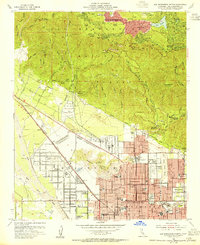
1954 Map of San Bernardino North
USGS Topo · Published 1955About this map
The San Bernardino northern interface in the mid-1950s reveals a city expanding toward the foothills of the San Bernardino National Forest. This map documents the transition from the grid-like urban core, home to institutions like Polytechnic High Sch and the County Hospital, to the winding mountain resort communities such as Crestline, Valley of Enchantment, and Cedarpines Park. The presence of the San Bernardino Airport and the complex infrastructure of the Atchison Topeka and Santa Fe RR and Pacific Electric lines highlights the city's role as a regional transportation hub during this era of postwar growth.
Find a feature on this map
68 named features on this map. Tap any name to fly to it.
Don’t see what you’re looking for? This feature index may not catch every label — zoom into the map to look around manually.
Map Details
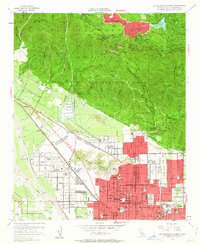
Editions of this 1954 San Bernardino North Map
2 editions found
Other maps of this area

1896 · San Bernardino
USGS Topo · 1:62,500

1898 · San Bernardino
USGS Topo · 1:62,500

1899 · Redlands
USGS Topo · 1:62,500

1901 · Southern California Sheet No. 1
USGS Topo · 1:250,000

1901 · San Bernardino
USGS Topo · 1:62,500

1901 · Redlands
USGS Topo · 1:62,500

1902 · Deep Creek
USGS Topo · 1:62,500

1902 · Hesperia
USGS Topo · 1:62,500

1904 · Southern California Sheet No. 1
USGS Topo · 1:250,000

1936 · Devore
USGS Topo · 1:31,680