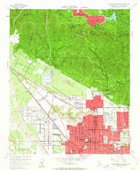
1954 Map of San Bernardino North
USGS Topo · Published 1963About this map
San Bernardino meets the southern edge of the San Bernardino National Forest in this mid-century survey, documenting a period of significant suburban and mountain development. The grid of the city pushes northward toward the Shandin Hills, where landmarks like the St Bernardine Hospital and numerous educational institutions such as Polytechnic High Sch and Arrowview Jr High Sch anchor the growing residential tracts. Transport corridors define the valley floor, specifically the Atchison Topeka and Santa Fe railroad and the Pacific Electric lines that serviced the region's industry and commuters.
Find a feature on this map
66 named features on this map. Tap any name to fly to it.
Don’t see what you’re looking for? This feature index may not catch every label — zoom into the map to look around manually.
Map Details
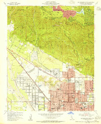
Editions of this 1954 San Bernardino North Map
2 editions found
Other maps of this area

1896 · San Bernardino
USGS Topo · 1:62,500

1898 · San Bernardino
USGS Topo · 1:62,500

1899 · Redlands
USGS Topo · 1:62,500

1901 · Southern California Sheet No. 1
USGS Topo · 1:250,000

1901 · San Bernardino
USGS Topo · 1:62,500

1901 · Redlands
USGS Topo · 1:62,500

1902 · Deep Creek
USGS Topo · 1:62,500

1902 · Hesperia
USGS Topo · 1:62,500

1904 · Southern California Sheet No. 1
USGS Topo · 1:250,000

1936 · Devore
USGS Topo · 1:31,680